Horní Brusnice
| Horní Brusnice | |
|---|---|
| Municipality and village | |
 Typical log house | |
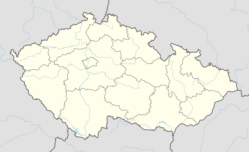
 Horní Brusnice Location in the Czech Republic | |
| Coordinates: 50°28′N 15°41′E / 50.467°N 15.683°ECoordinates: 50°28′N 15°41′E / 50.467°N 15.683°E | |
| Country |
|
| Region | Hradec Králové Region |
| District | Trutnov District |
| Area | |
| • Total | 544 sq mi (14,09 km2) |
| Elevation | 1,486 ft (453 m) |
| Population (2017) | |
| • Total | 438 |
| Time zone | UTC+1 (CET) |
| • Summer (DST) | UTC+2 (CEST) |
| ZIP code | 54474 |
| Website | www.hornibrusnice.cz |
Horní Brusnice (German: Ober Prausnitz) is a village and municipality in Trutnov District in the Hradec Králové Region of the Czech Republic. The municipality covers an area of 14,09 km² and as of 2017 it had a population of 438. Among its landmarks are St. Nicholas church and a number of log houses, several of which are protected cultural monuments.
| Wikimedia Commons has media related to Horní Brusnice. |
This article is issued from
Wikipedia.
The text is licensed under Creative Commons - Attribution - Sharealike.
Additional terms may apply for the media files.