Homer, Kansas
| Homer, Kansas | |
|---|---|
| Unincorporated community | |
 KDOT map of Russell County (legend) | |
 Homer  Homer | |
| Coordinates: 38°52′10″N 98°47′51″W / 38.86944°N 98.79750°WCoordinates: 38°52′10″N 98°47′51″W / 38.86944°N 98.79750°W | |
| Country | United States |
| State | Kansas |
| County | Russell |
| Elevation | 1,867 ft (569 m) |
| Time zone | UTC-6 (CST) |
| • Summer (DST) | UTC-5 (CDT) |
| ZIP code | 67665 |
| GNIS ID | 484730[1] |
Homer (also known as "Homer Station") is an unincorporated area in Russell County, Kansas, United States.[2] It lies on the border between Grant and Russell Townships.[3] There is no community or settlement at Homer.[4]
History
Homer was once a stop on the Union Pacific Railroad.[5] A rural post office operated at the site from 1879 to 1887.[6]
Geography
Homer is located at 38°52′10″N 98°47′51″W / 38.86944°N 98.79750°W (38.8694558, -98.7975811) at an elevation of 1,867 feet (569 m).[1] It lies approximately 5 miles (8.0 km) north of the Smoky Hill River and 6.5 miles (10.5 km) south of the Saline River in the Smoky Hills region of the Great Plains.[2][7] Homer is on U.S. Route 40 Business roughly 3 miles (5 km) east of Russell, the county seat, and 1 mile (1.5 km) north of Interstate 70.[2]
Transportation
Homer lies immediately east of the intersection of U.S. Route 40 Business, which runs southeast-northwest, and Homer Road, an unpaved east-west county road.[2]
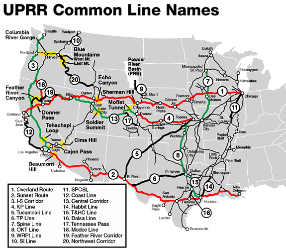
The Kansas Pacific (KP) Line of the Union Pacific Railroad runs through Homer, parallel to the U.S. 40 business route.[2][8]
References
- 1 2 U.S. Geological Survey Geographic Names Information System: Homer, Kansas
- 1 2 3 4 5 "General Highway Map - Russell County, Kansas" (PDF). Kansas Department of Transportation. 2010-10-01. Retrieved 2011-01-26.
- ↑ "General Highway Map - Russell County, Kansas" (PDF). Kansas Department of Transportation. 1975. Retrieved 2011-01-26.
- ↑ "Google Maps Street View - Homer, KS". Retrieved 2014-09-17.
- ↑ "Stouffer's Railroad Map of Kansas". Kansas Memory. Kansas Historical Society. 1918. Retrieved 2014-09-17.
- ↑ "Kansas Post Offices, 1828-1961". Kansas Historical Society. Archived from the original on 9 October 2013. Retrieved 22 June 2014.
- ↑ "2003-2004 Official Transportation Map" (PDF). Kansas Department of Transportation. 2003. Retrieved 2011-01-26.
- ↑ "UPRR Common Line Names". Union Pacific Railroad. Retrieved 2011-01-26.
External links
Municipalities and communities of Russell County, Kansas, United States | ||
|---|---|---|
| Cities | 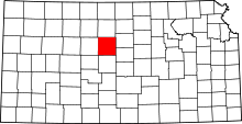 | |
| Unincorporated communities | ||
| Ghost towns | ||
| Townships | ||
| Footnotes | ‡This populated place also has portions in an adjacent county or counties | |