Hodson, California
Coordinates: 37°59′48″N 120°41′08″W / 37.99667°N 120.68556°W
| Hodson | |
|---|---|
| Former settlement | |
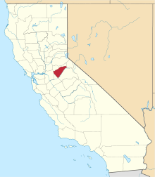
 Hodson Location in California | |
| Coordinates: 37°59′48″N 120°41′08″W / 37.99667°N 120.68556°W | |
| Country | United States |
| State | California |
| County | Calaveras County |
| Elevation[1] | 971 ft (296 m) |
Hodson is a former settlement in Calaveras County, California. It lay at an elevation of 971 feet (296 m), 2.5 miles (4.0 km) west-northwest of Copperopolis.[2] A post office operated at Hodson from 1898 to 1906, and again from 1915 to 1917.[2]
The town was named in honor of J.J. Hodson, a copper mining financier.[2]
References
External links
This article is issued from
Wikipedia.
The text is licensed under Creative Commons - Attribution - Sharealike.
Additional terms may apply for the media files.