Handarap Lake
| Handarap Lake | |
|---|---|
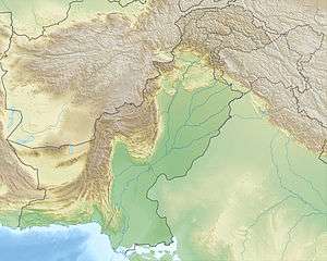 Handarap Lake Location in Pakistan | |
| Location | Koh-i-Ghizer, Ghizer District, Gilgit–Baltistan, Pakistan |
| Coordinates | 36°04′05″N 72°32′46″E / 36.068°N 72.546°ECoordinates: 36°04′05″N 72°32′46″E / 36.068°N 72.546°E |
| Type | lake, reservoir |
| Primary inflows | Ghizer River |
| Basin countries | Pakistan |
| Max. length | 1 km (3,300 ft) |
| Max. width | 0.754 km (2,470 ft) |
| Surface area | 44 acres (18 ha) |
| Max. depth | 90 ft (27 m) |
| Settlements | Phander |
Handarap Lake (Urdu: ہندارپ جھیل, Khowar:شونجو چھت) is a high altitude water reservoir situated in the Shandur Valley in Ghizer, the westernmost part of the Gilgit-Baltistan, the northernmost part of Pakistan. The lake is an important source of fresh water and also a tourist attraction. It houses trout originating in the rivers.
Location
Handarap Lake is located in Handarap Nallah, in the Golaghmuli or Shandur Valley of Ghizer District, in Gilgit-Baltistan, Pakistan. Its estimated elevation is 3285 metres or 10777.6 ft above sea level. The lake is reached by taking the Karakoram Highway from Islamabad to Gilgit, then continuing west on the Gilgit-Chitral road towards Shandur. The final leg of the journey is a four-hour hike from the village of Golaghmuli, where lodging is available. The path is inaccessible to bicycles.
Handarap Lake is surrounded by snow-covered mountains[1] in a variety of shapes including conical[2][3] and cylindrical.
See also
References
- ↑ Handarap Lake photo, Visitors Heaven.
- ↑ "Photo - Cone shaped Mountain near Handarap Lake - Pictures Of Teru, Northern Areas, Pakistan". AllTravels.
- ↑ "Cone shaped Mountain near Handarap Lake". Pakistan Geoview.