Halliwell, Greater Manchester
| Halliwell | |
|---|---|
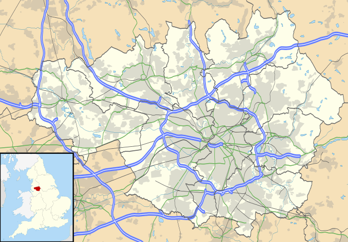 Halliwell Halliwell shown within Greater Manchester | |
| Population | 13,929 (2011.ward) |
| OS grid reference | SD705105 |
| Metropolitan borough | |
| Metropolitan county | |
| Region | |
| Country | England |
| Sovereign state | United Kingdom |
| Post town | BOLTON |
| Postcode district | BL1 |
| Dialling code | 01204 |
| Police | Greater Manchester |
| Fire | Greater Manchester |
| Ambulance | North West |
| EU Parliament | North West England |
| UK Parliament | |
Halliwell is predominantly a residential area of Bolton, Greater Manchester, England. It gives its name to an electoral ward of the wider Metropolitan Borough of Bolton. The population of this ward taken at the 2011 census was 13,929.[1] Halliwell lies about 2 miles (3.2 km) to the north west of Bolton town centre and is bounded by Tonge Moor to the east and Heaton to the south west. Smithills Hall to the north is within the ancient township. It lies on the lower south facing slopes of the West Pennine Moors.
Historically a part of Lancashire, Halliwell once formed an autonomous township in the ancient parish of Deane.[2] Traces of this ancient history still remain. Boundary Street marks the old boundary between Halliwell and the parish of Bolton le Moors, and a modern wall along Gladstone Street also marks this former boundary.[3] The old building on Halliwell Road, much modernised, at the end of the wall, is the former toll house.
Halliwell derives its name from the holy well, an ancient spring which used to exist at the northern end of the township off Smithills Croft Road.[4] In Old English it was recorded as halig wella (i.e. holy well). Over the centuries the name has been spelt as Haliwalle (1220), Haliwell (1243), Harywal (1273), and Halewell (1277–8). In Deane Parish Church registers it was spelt Halliwoe and Hollowell.[5][6]
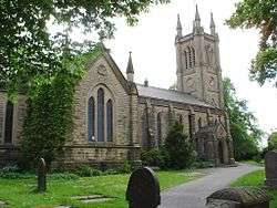
The parish church of St Peter's was consecrated in 1840.[7]
Halliwell had a football team, Halliwell Rovers, who were one of the strongest teams in the area. They played at a ground known as Holy Harbour which is now buried under modern housing between Arnold Street, Hughes Street and Cloister Street. The houses are social housing and the landlord is Irwell Valley, they were built in 1998 / 1998. The two new builds on the Holy Harbour land are known as Rusheylea Close and Newlea Close.
See also
References
- ↑ [Bolton Ward population 2011 Bolton Ward population 2011] Check
|url=value (help). Retrieved 3 January 2016. Missing or empty|title=(help) - ↑ Map of Ancient Parishes and Townships. Retrieved 9 July 2010.
- ↑ Halliwell Township Boundaries. GENUKI. Retrieved 9 July 2010.
- ↑ The District of Halliwell, Bolton. Lancashire OnLine Parish Clerks. Retrieved 9 July 2010.
- ↑ Billington, W.D. (1982). From Affetside to Yarrow. Egerton: Ross Anderson Publications. p. 39. ISBN 0-86360-003-4.
- ↑ Farrer, William; Brownbill, J., eds. (1911), "Halliwell", A History of the County of Lancaster: Volume 5, British History Online, pp. 12–20
- ↑ The Parish of St Peter's, Halliwell. Lancashire OnLine Parish Clerks. Retrieved 9 July 2010.