Halford, Warwickshire
| Halford | |
|---|---|
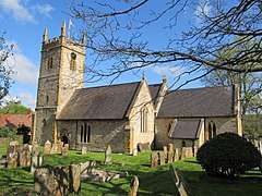 Parish church of our Blesséd Lady | |
 Halford Halford shown within Warwickshire | |
| Population | 341 (2011 Census) |
| OS grid reference | SP2545 |
| District | |
| Shire county | |
| Region | |
| Country | England |
| Sovereign state | United Kingdom |
| Post town | Stratford-on-Avon |
| Postcode district | CV36 |
| Dialling code | 01789 |
| Police | Warwickshire |
| Fire | Warwickshire |
| Ambulance | West Midlands |
| EU Parliament | West Midlands |
| UK Parliament | |
| Website | Halford Parish Council |
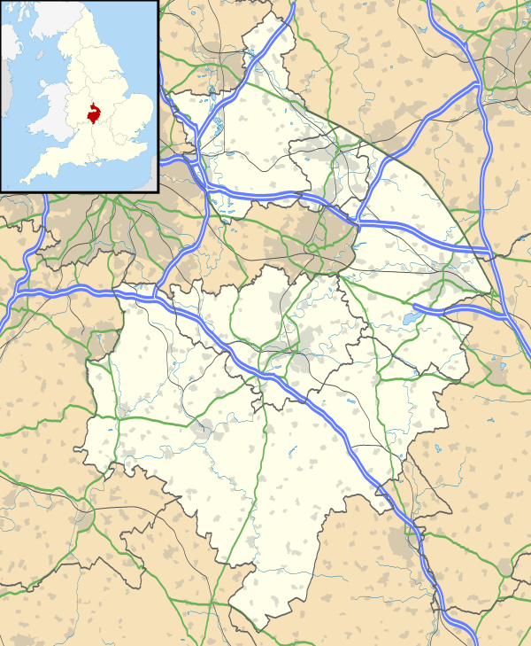
Halford is a village and civil parish about 3 miles (5 km) north of Shipston-on-Stour in Warwickshire. The village is where the Fosse Way Roman road (now the A429 road) crosses the River Stour. The 2011 Census recorded the parish's population as 341.[1]
By the river are the earthworks and buried remains of Halford Castle, a motte castle believed to be the predecessor of the present manor house.[2]
References
- ↑ "Area: Halford (Parish): Key Figures for 2011 Census: Key Statistics". Neighbourhood Statistics. Office for National Statistics. Retrieved 11 March 2015.
- ↑ "Halford Castle". The Gatehouse. Retrieved 14 May 2011.
Further reading
- Pevsner, Nikolaus; Wedgwood, Alexandra (1966). Warwickshire. The Buildings of England. Harmondsworth: Penguin Books. pp. 303–304.
- Salzman, L.F, ed. (1949). A History of the County of Warwick. Victoria County History. 5: Kington Hundred. London: Oxford University Press for the Institute of Historical Research. pp. 89–92.
External links
| Wikimedia Commons has media related to Halford, Warwickshire. |
- Map sources for Halford, Warwickshire
- Halford Parish Council
- The Stourdene Benefice

This article is issued from
Wikipedia.
The text is licensed under Creative Commons - Attribution - Sharealike.
Additional terms may apply for the media files.