Guardalavaca Airport
| Guardalavaca Airport | |||||||||||
|---|---|---|---|---|---|---|---|---|---|---|---|
| Summary | |||||||||||
| Airport type | Public | ||||||||||
| Serves | Guardalavaca | ||||||||||
| Elevation AMSL | 157 ft / 48 m | ||||||||||
| Coordinates | 21°06′40″N 75°49′20″W / 21.11111°N 75.82222°WCoordinates: 21°06′40″N 75°49′20″W / 21.11111°N 75.82222°W | ||||||||||
| Map | |||||||||||
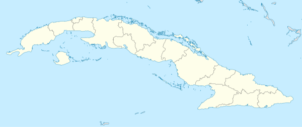 MUGV Location of the airport in Cuba | |||||||||||
| Runways | |||||||||||
| |||||||||||
Guardalavaca Airport (ICAO: MUGV) is an airport serving the town of Guardalavaca in the Holguín Province of Cuba.
The runway of deteriorated asphalt has significant grass encroachment.[2]
See also

- Transport in Cuba
- List of airports in Cuba
References
- ↑ Airport information for MUGV at Great Circle Mapper.
- 1 2 Google Maps - Guardalavaca
External links
This article is issued from
Wikipedia.
The text is licensed under Creative Commons - Attribution - Sharealike.
Additional terms may apply for the media files.