Playa Baracoa Airport
| Playa Baracoa Airport | |||||||||||
|---|---|---|---|---|---|---|---|---|---|---|---|
.jpg) An Antonov An-26 of the Aerogaviota departing from Playa Baracoa | |||||||||||
| Summary | |||||||||||
| Airport type | Military/Public | ||||||||||
| Serves | Havana | ||||||||||
| Elevation AMSL | 31 m / 102 ft | ||||||||||
| Coordinates | 23°01′58″N 082°34′46″W / 23.03278°N 82.57944°WCoordinates: 23°01′58″N 082°34′46″W / 23.03278°N 82.57944°W | ||||||||||
| Map | |||||||||||
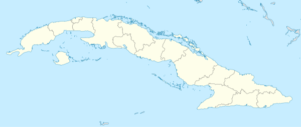 MUPB Location in Cuba | |||||||||||
| Runways | |||||||||||
| |||||||||||
|
Source: Aerodrome chart[1] | |||||||||||
Playa Baracoa Airport (IATA: UPB, ICAO: MUPB) is an airport west of Havana, Cuba. It is located in the municipality of Caimito, Artemisa Province, in front of the village of Playa Baracoa, belonging to the neighboring municipality of Bauta.[2][3][4]
Playa Baracoa Air Base
The airport is an inactive Cuban Revolutionary Armed Forces air base and home to Air Defense Command and VIP transport:[5]
- 3710th Interceptor Squadron and Training
- 3688 Transport Regiment - using Antonov An-26 transport
- 3405 Executive Transport Squadron - Yakovlev Yak-40 VIP jet, Antonov An-26M transport; Mil Mi-8P and Mil Mi-8TB transport helicopters
- 3404 Transport Squadron - using Antonov An-2 transport
References
- ↑ Aerodrome chart issued 10 May 2007 - link dead 6 October 2017, main website is www.iacc.gob.cu
- ↑ 455624731 Playa Baracoa on OpenStreetMap
- ↑ 259849770 Playa Baracoa Airport on OpenStreetMap
- ↑ (in Spanish) Playa Baracoa on EcuRed
- ↑ Cuban Air Force DAAFAR
External links
![]()
| Networks |
| |
|---|---|---|
| Main structures |
| |
This article is issued from
Wikipedia.
The text is licensed under Creative Commons - Attribution - Sharealike.
Additional terms may apply for the media files.