Las Brujas Airport (Cuba)
| Las Brujas Airport | |||||||||||
|---|---|---|---|---|---|---|---|---|---|---|---|
| Summary | |||||||||||
| Airport type | Public | ||||||||||
| Operator | ECASA S.A. | ||||||||||
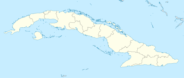
| Location | Cayo Santa María, Cuba | ||||||||||
| Elevation AMSL | 4 m / 13 ft | ||||||||||
| Coordinates | 22°37′16″N 079°08′50″W / 22.62111°N 79.14722°WCoordinates: 22°37′16″N 079°08′50″W / 22.62111°N 79.14722°W | ||||||||||
| Map | |||||||||||
 MUBR | |||||||||||
| Runways | |||||||||||
| |||||||||||
Las Brujas Airport (IATA: BWW, ICAO: MUBR) is a Cuban airport serving Cayo Santa María, a resort island in the municipality of Caibarién, Villa Clara Province.
Facilities
The airport resides at an elevation of 4 m (13 ft) above mean sea level.[2] It has one runway designated 09/27 with an asphalt surface measuring 1,803 m × 44 m (5,915 ft × 144 ft).[1]
References
- 1 2 Las Brujas/ MUBR/ Cayo las Brujas
- 1 2 Airport information for MUBR at World Aero Data. Data current as of October 2006.Source: DAFIF.
This article is issued from
Wikipedia.
The text is licensed under Creative Commons - Attribution - Sharealike.
Additional terms may apply for the media files.