Glendale, Camden County, New Jersey
| Glendale, New Jersey | |
|---|---|
| Unincorporated community | |
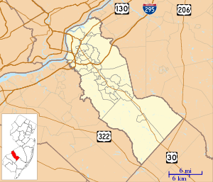 Glendale Location in Camden County (Inset: Camden County in New Jersey)  Glendale Glendale (New Jersey)  Glendale Glendale (the US) | |
| Coordinates: 39°51′13″N 74°58′57″W / 39.85361°N 74.98250°WCoordinates: 39°51′13″N 74°58′57″W / 39.85361°N 74.98250°W | |
| Country |
|
| State |
|
| County | Camden |
| Township | Voorhees |
| Elevation | 31 m (102 ft) |
| Time zone | UTC-5 (Eastern (EST)) |
| • Summer (DST) | UTC-4 (EDT) |
| GNIS feature ID | 876630[1] |
- Not to be confused with Glendale in Ewing Township, Mercer County.
Glendale is an unincorporated community located within Voorhees Township, in Camden County, New Jersey, United States.[2] The area is primarily located at the intersection of County Route 561 (Haddonfield-Berlin Road) and County Route 673 (White Horse Road). This intersection is home to the Glendale Methodist Episcopal Church. The community of Glendale is home to many retail stores, businesses, and residential subdivisions. Stafford Farm is a historic farm in Glendale.
References
- ↑ U.S. Geological Survey Geographic Names Information System: Glendale, Camden County, New Jersey
- ↑ Locality Search, State of New Jersey. Accessed June 9, 2016.
Municipalities and communities of Camden County, New Jersey, United States | ||
|---|---|---|
| Cities | 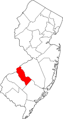 | |
| Boroughs | ||
| Townships | ||
| CDPs | ||
| Other unincorporated communities | ||
This article is issued from
Wikipedia.
The text is licensed under Creative Commons - Attribution - Sharealike.
Additional terms may apply for the media files.