Folletts, Iowa
| Folletts, Iowa | |
|---|---|
| unincorporated community | |
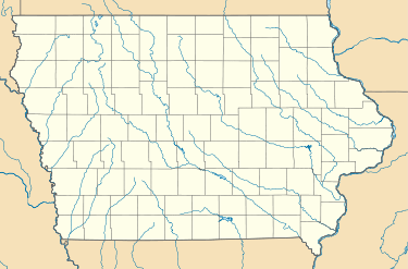
 Folletts, Iowa Location of Folletts, Iowa  Folletts, Iowa Folletts, Iowa (the US) | |
| Coordinates: Coordinates: 41°44′55″N 90°21′17″W / 41.74861°N 90.35472°W | |
| Country |
|
| State |
|
| County | Clinton County |
| Time zone | UTC-6 (Central (CST)) |
| • Summer (DST) | UTC-5 (CDT) |
| Area code(s) | 563 |
Folletts is an unincorporated community in Clinton County, Iowa, United States. It is located at the intersections of 292nd Street and County Highway Z36 on the north bank of the Wapsipinicon River. It is one mile west of Shaffton and three miles east of McCausland, at 41.750099N, -90.354990W.[1]
History
A ferry service was established by William Follett on the Wapsipinicon River in 1837. In 1884, the Folletts post office was established; it was discontinued in 1933.[2]
Until the Great Depression, Folletts was an important trade stop on the Chicago, Rock Island and Pacific Railroad.[3]
References
- ↑ "US Gazetteer files: 2010, 2000, and 1990". United States Census Bureau. 2011-02-12. Retrieved 2011-04-23.
- ↑ Savage, Tom (2007). A Dictionary of Iowa Place-Names, p. 88. University Of Iowa Press. ISBN 1-58729-531-8.
- ↑ Klinkenberg, Dean (Oct 1, 2009). Travel Guide-Lansing Iowa to Leclaire: Along the Mississippi River in Iowa, Illinois and Wisconsin: Lansing Iowa to Leclaire. Dean Klinkenberg. p. 167. Retrieved 2013-05-04.
This article is issued from
Wikipedia.
The text is licensed under Creative Commons - Attribution - Sharealike.
Additional terms may apply for the media files.