Elsted and Treyford
| Elsted and Treyford | |
|---|---|
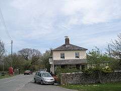 Elsted Marsh | |
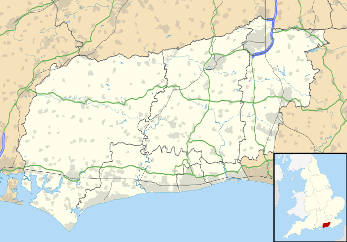 Elsted and Treyford Elsted and Treyford shown within West Sussex | |
| Area | 15.90 km2 (6.14 sq mi) [1] |
| Population | 246 (2011)[2] |
| • Density | 16/km2 (41/sq mi) |
| OS grid reference | SU816195 |
| • London | 48 miles (77 km) NE |
| Civil parish |
|
| District | |
| Shire county | |
| Region | |
| Country | England |
| Sovereign state | United Kingdom |
| Post town | MIDHURST |
| Postcode district | GU29 |
| Dialling code | 01730 |
| Police | Sussex |
| Fire | West Sussex |
| Ambulance | South East Coast |
| EU Parliament | South East England |
| UK Parliament | |
Elsted and Treyford is a civil parish in the Chichester district of West Sussex, west of Midhurst. It contains the settlements of Elsted, Elsted Marsh, Treyford, Didling and Hooksway.
The parish contains two churches, St Paul in Elsted and St Andrew, known as the Shepherds' Church,[3] in the hamlet of Didling. It also contains the site of Treyford church.
Hooksway has a 16th-century pub, the Royal Oak.[4][5]
In the 2001 census there were 114 households with a total population of 253 of whom 116 were economically active.[1] At the 2011 Census the population was 246.[2]
The Devil's Jumps, Treyford, and Beacon Hill are nearby.
References
- 1 2 "2001 Census: West Sussex – Population by Parish" (PDF). West Sussex County Council. Archived from the original (PDF) on 8 June 2011. Retrieved 2 May 2009.
- 1 2 "Elsted and Treyford (Parish): Key Figures for 2011 Census". Neighbourhood Statistics. Office for National Statistics. Retrieved 15 October 2015.
- ↑ The Church of England : Chichester Diocese : St Andrew, Didling
- ↑ "Fancy Free Walks: Harting Down" (PDF). Retrieved 5 December 2014.
- ↑ Shaxson, Andrew (March 2008). The Royal Oak at Hooksway (PDF). The Chichester Society. p. 6. Retrieved 6 December 2014.
External links
![]()
This article is issued from
Wikipedia.
The text is licensed under Creative Commons - Attribution - Sharealike.
Additional terms may apply for the media files.