El Bluff
 Nicaragua | |
| Location |
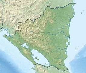
El Bluff South Caribbean Coast Autonomous Region Nicaragua |
|---|---|
| Coordinates | 11°59′35.9″N 83°41′05.0″W / 11.993306°N 83.684722°W |
| Foundation | concrete base |
| Construction | metal skeletal tower |
| Tower shape | square pyramidal skeletal tower |
| Markings / pattern | white tower |
| Height | 8 metres (26 ft) |
| Focal height | 50 metres (160 ft) |
| Light source | solar power |
| Range | 14 nautical miles (26 km; 16 mi) |
| Characteristic | Fl W 3.8s. |
| Admiralty number | J6064 |
| NGA number | 16500[1][2] |
El Bluff is a port city on the Caribbean coast of Nicaragua within the bay of Bluefields. El Bluff handles limited cargo and has basic piers. It is also a base for the sea-going fishing vessels on Nicaragua's Caribbean coast.
The island that it sits on is now connected to the mainland via a causeway constructed between 2004 and 2007.[3][4]
See also
References
- ↑ Nicaragua Caribbean Coast The Lighthouse Directory. University of North Carolina at Chapel Hill. Retrieved 23 January 2017
- ↑ List of Lights, Pub. 110: Greenland, The East Coasts of North and South America (Excluding Continental U.S.A. Except the East Coast of Florida) and the West Indies (PDF). List of Lights. United States National Geospatial-Intelligence Agency. 2016.
- ↑ Google Earth Historical Images 1969-2014
- ↑ Google Maps - El Bluff
This article is issued from
Wikipedia.
The text is licensed under Creative Commons - Attribution - Sharealike.
Additional terms may apply for the media files.