Edward F Johnson Airport
| Edward F Johnson Airport | |||||||||||
|---|---|---|---|---|---|---|---|---|---|---|---|
| Summary | |||||||||||
| Airport type | Public | ||||||||||
| Owner | Marilee Koval | ||||||||||
| Serves | Ishpeming, Michigan | ||||||||||
| Elevation AMSL | 1,446 ft / 441 m | ||||||||||
| Coordinates | 46°20′42.79″N 087°47′18.49″W / 46.3452194°N 87.7884694°W | ||||||||||
| Map | |||||||||||
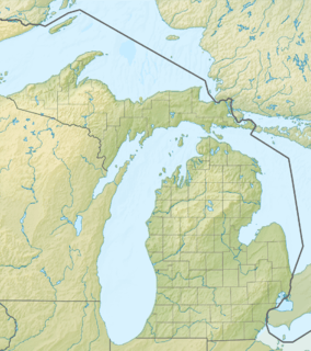 M61 Location of airport in Michigan  M61 M61 (the US) | |||||||||||
| Runways | |||||||||||
| |||||||||||
| Statistics | |||||||||||
| |||||||||||
Edward F Johnson Airport (FAA LID: M61) is a privately owned public use airport ten miles (16 km) south of the central business district of Ishpeming, a city in Marquette County, Michigan, United States.[1]
Facilities and aircraft
Edward F Johnson Airport covers an area of 75 acres (0.30 km2) and contains one runway designated 18/36 with a 2,200 x 100 ft (671 x 30 m) turf surface. For the 12-month period ending December 31, 2015, the airport had 825 aircraft operations, an average of 69 per month: 100% general aviation. In January 2017, there were 4 aircraft based at this airport: 4 single-engine.[1]
References
External links
- Resources for this airport:
- FAA airport information for M61
- AirNav airport information for M61
- FlightAware airport information and live flight tracker
- SkyVector aeronautical chart for M61
This article is issued from
Wikipedia.
The text is licensed under Creative Commons - Attribution - Sharealike.
Additional terms may apply for the media files.