Eda Municipality
| Eda Municipality Eda kommun | ||
|---|---|---|
| Municipality | ||
| ||
 | ||
| Country | Sweden | |
| County | Värmland County | |
| Seat | Charlottenberg | |
| Area[1] | ||
| • Total | 894.92 km2 (345.53 sq mi) | |
| • Land | 820.18 km2 (316.67 sq mi) | |
| • Water | 74.74 km2 (28.86 sq mi) | |
| Area as of 1 January 2014. | ||
| Population (31 December 2017)[2] | ||
| • Total | 8,618 | |
| • Density | 9.6/km2 (25/sq mi) | |
| Time zone | UTC+1 (CET) | |
| • Summer (DST) | UTC+2 (CEST) | |
| ISO 3166 code | SE | |
| Province | Värmland | |
| Municipal code | 1730 | |
| Website | www.eda.se | |

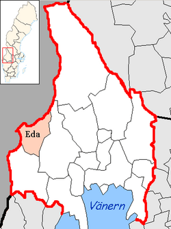
Eda Municipality (Eda kommun) is a municipality in Värmland County in west central Sweden, on the Norwegian border. Its seat is located in the town of Charlottenberg.
The municipal reform of 1971 saw the forming of the present municipality through the amalgamation of "old" Eda with Köla and Järnskog.
Localities
- Charlottenberg (seat)
- Eda glasbruk
- Koppom
- Åmotfors (partly)
Government and politics
Distribution of the 35 seats in the municipal council after the 2010 election:
- Social Democratic Party 11
- Centre Party 10
- Hela Edas Lista 8
- Moderate Party 4
- Christian Democrats 1
- Liberal People's Party 1
Results of the Swedish general election, 2010 in Eda:
- Social Democratic Party 43.0%
- Moderate Party 22.7%
- Centre Party 12.3%
- Sweden Democrats 5.7%
- Left Party 4.6%
- Christian Democrats 4.0%
- Liberal People's Party 3.7%
- Green Party 2.8%
Sights
The perhaps most notable sight is the Eda Fortlet (Eda skans), which was in use from 1650 to 1814. It was the largest fortress in the province of Värmland, with the purpose of defending against Norwegian troops. It was made obsolete with the Union between Sweden and Norway in 1814.
References
- ↑ "Statistiska centralbyrån, Kommunarealer den 1 januari 2014" (Microsoft Excel) (in Swedish). Statistics Sweden. Retrieved 2014-04-18.
- ↑ "Folkmängd i riket, län och kommuner 31 december 2017" (in Swedish). Statistics Sweden. February 21, 2018. Retrieved February 21, 2018.
External links
- Eda Municipality - Official site
Municipalities and seats of Värmland County | ||
|---|---|---|
| Municipalities | ||
| Municipal seats | ||
This article is issued from
Wikipedia.
The text is licensed under Creative Commons - Attribution - Sharealike.
Additional terms may apply for the media files.