Dubník
| Slovak: Dubník Hungarian: Csúz | |
| Village | |
 | |
| Country | Slovakia |
|---|---|
| Region | Nitra |
| District | Nové Zámky |
| Elevation | 146 m (479 ft) |
| Coordinates | 47°57′N 18°25′E / 47.950°N 18.417°ECoordinates: 47°57′N 18°25′E / 47.950°N 18.417°E |
| Area | 41.006 km2 (15.83 sq mi) |
| Population | 1,762 (2004-12-31) |
| Density | 43/km2 (111/sq mi) |
| First mentioned | 1236 |
| Postal code | 941 35 |
| Area code | +421-35 |
| Car plate | NZ |
  Location of Dubník in Slovakia | |
 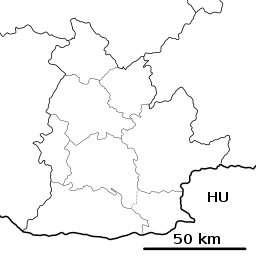 Location of Dubník in the Nitra Region | |
| Statistics: MOŠ/MIS | |
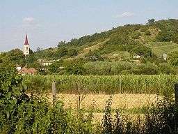
Dubník (Hungarian: Csúz) is a municipality and village in the Nové Zámky District in the Nitra Region of south-west Slovakia.
History
In historical records the village was first mentioned in 1236.
Geography
The village lies at an altitude of 146 metres and covers an area of 41.006 km². It has a population of about 1,765 people.
Ethnicity
Facilities
The village has a public library and a football pitch.
Genealogical resources
The records for genealogical research are available at the state archive "Statny Archiv in Nitra, Slovakia"
- Roman Catholic church records (births/marriages/deaths): 1703-1898 (parish A)
- Lutheran church records (births/marriages/deaths): 1785-1896 (parish B)
- Reformated church records (births/marriages/deaths): 1815-1945 (parish A)
See also
External links
This article is issued from
Wikipedia.
The text is licensed under Creative Commons - Attribution - Sharealike.
Additional terms may apply for the media files.