Drummurry
| Drummurray | |
|---|---|
 Drumurray Townland, | |
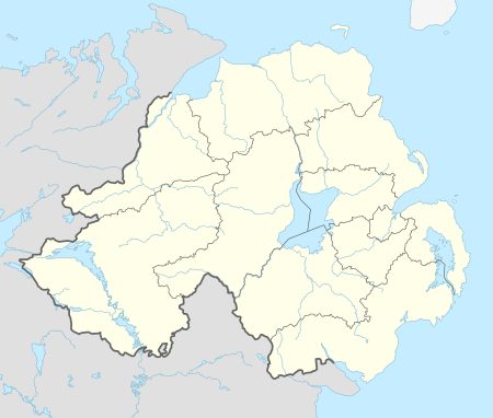 Drummurray shown within Northern Ireland | |
| District | |
| County | |
| Country | Northern Ireland |
| Sovereign state | United Kingdom |
| Postcode district | BT |
| Dialling code | 028 |
| Police | Northern Ireland |
| Fire | Northern Ireland |
| Ambulance | Northern Ireland |
| EU Parliament | Northern Ireland |
| UK Parliament | |
| NI Assembly | |
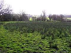
Drummuray is a townland in Mageracross civil parish, County Fermanagh, Northern Ireland. [1][2] The topography is undulating and sighltly marshy.[3] Land use is predominantly agricultural but includes newer urban development on the outskirts of Ballinamallard township. [4]It is located at 54° 25' 9" N, 7° 36' 14" W. and is 165.91 acres in area.
References
- ↑ Photo of Drummuray
- ↑ Drummuray.
- ↑ Drummuray townlands Archived July 21, 2015, at the Wayback Machine..
- ↑ Drummuray townland.
This article is issued from
Wikipedia.
The text is licensed under Creative Commons - Attribution - Sharealike.
Additional terms may apply for the media files.