Dongtou District
| Dongtou 洞头区 | |
|---|---|
| District | |
.jpg) Dongtou | |
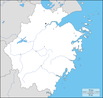 Dongtou Location in Zhejiang | |
| Coordinates: 27°50′10″N 121°09′25″E / 27.836°N 121.157°ECoordinates: 27°50′10″N 121°09′25″E / 27.836°N 121.157°E | |
| Country | People's Republic of China |
| Province | Zhejiang |
| Prefecture-level city | Wenzhou |
| Area[1] | |
| • Total | 2,700.3 km2 (1,042.6 sq mi) |
| • Land | 100.3 km2 (38.7 sq mi) |
| • Water | 2,600 km2 (1,000 sq mi) |
| Population (2012)[1] | |
| • Total | 130,600 |
| • Density | 1,302.1/km2 (3,372/sq mi) |
| Time zone | UTC+8 (China Standard) |
| Website |
www |
![]()
Economy
Dongtou possesses the second-largest fishery in Zhejiang, reaching an area of about 4,800 km2 (1,900 sq mi),[1] and is known as the "Hijiki capital of China" (中国羊栖菜之乡) as well as the "Seaweed capital of Zhejiang" (浙江紫菜之乡).[1]
References
External links