Tiantai County
| Tiantai County 天台县 | |
|---|---|
| County | |
.jpg) Ji Gong former residence | |
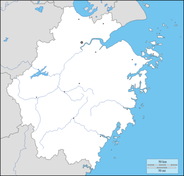 Tiantai Location of the seat in Zhejiang | |
| Coordinates: 29°08′39″N 121°00′24″E / 29.1441°N 121.0067°ECoordinates: 29°08′39″N 121°00′24″E / 29.1441°N 121.0067°E | |
| Country | People's Republic of China |
| Province | Zhejiang |
| Prefecture-level city | Taizhou |
| Time zone | UTC+8 (China Standard) |
Tiantai County (Tai-chow dialect: T'in-t'e yön; simplified Chinese: 天台县; traditional Chinese: 天台縣; pinyin: Mainland Standard Mandarin: Tiāntāi Xiàn, Taiwanese Standard Mandarin: Tiāntái Xiàn) is located in Taizhou, Zhejiang Province, People's Republic of China.
The county is noted for its scenic Mount Tiantai, which is also an important Tiantai Buddhism site. With a total area of 1,432.09 km2 (552.93 sq mi) and a population of 560,000, Tiantai is a medium-sized city that administers twelve towns, three districts and 641 villages. Tiantai County's history dates back to the Qin Dynasty (221–208 BCE) when it was called Dongyue, later changed to Huipu during the Han Dynasty (208 BCE–220 CE).
Tiantai has extensive natural resources including water power, wind power, mines and biological resources. It tops other cities within the province with a total 51,600 kW water power output and is listed in the first batch of model cities of electrification nationwide. A milestone project, Tongbai Pumped Storage Power Station was completed in 2008. The investment is estimated at up to 4.2 billion RMB. Tiantai's metal resources include silver, lead, zinc, tungsten and aluminum.
The private sector constitutes the largest part of the local economy. There are six mainstay industries including rubber & plastics, industrial fabrics, art works, pharmaceuticals, machinery and brewing. In 2003, Tiantai's GDP was 4.7 billion RMB with tax revenues of 560 million RMB.