Dobřany (Plzeň-South District)
| Dobřany | |||
| Town | |||
_-_St._V%C3%ADt_Church.jpg) St. Vitus Church in Dobřany | |||
|
|||
| Country | Czech Republic | ||
|---|---|---|---|
| Region | Plzeň | ||
| District | Plzeň-jih | ||
| Commune | Stod (Czech Republic) | ||
| Municipality | Dobřany (Plzeň-South District) | ||
| Parts | Dobřany (Plzeň-South District), Šlovice, Vodní Újezd | ||
| Elevation | 352 m (1,155 ft) | ||
| Coordinates | 49°39′14″N 13°17′25″E / 49.65389°N 13.29028°ECoordinates: 49°39′14″N 13°17′25″E / 49.65389°N 13.29028°E | ||
| Area | 35.31 km2 (13.63 sq mi) | ||
| Population | 5,887 (2005) | ||
| Density | 167/km2 (433/sq mi) | ||
| First mentioned | 13th century | ||
| Mayor | Martin Sobotka | ||
| Timezone | CET (UTC+1) | ||
| - summer (DST) | CEST (UTC+2) | ||
| Postal code | 334 41 | ||
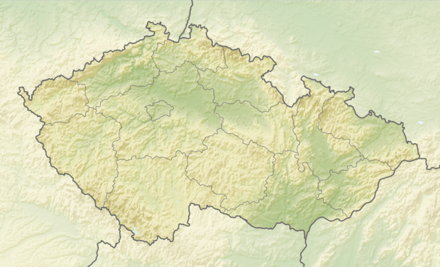 Location in the Czech Republic | |||
| Wikimedia Commons: Dobřany | |||
| Statistics: statnisprava.cz | |||
| Website: www.dobrany.cz | |||
_-_flag.png)
_-_coat_of_arms.png)
Dobřany (Czech pronunciation: [ˈdobr̝anɪ]; German: Dobrzan, Wiesengrund) is a town in the Plzeň Region of the Czech Republic. It lies on the Radbuza River, some 5 km (3 mi) to the south-west from the region capital of Pilsen.
Dobřany is also the seat of the Municipality with Commissioned Local Authority within the Stod Municipality with Extended Competence.
From 1938 to 1945 it belonged to Sudetenland in Nazi Germany; from 1939/45 it was named Wiesengrund.
Resources

| Authority control |
|---|
This article is issued from
Wikipedia.
The text is licensed under Creative Commons - Attribution - Sharealike.
Additional terms may apply for the media files.