Dodman Point
| Dodman Point | |
|---|---|
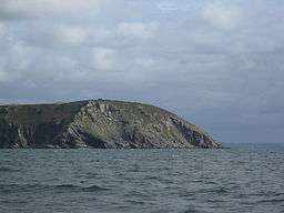 Dodman Point from the south west | |
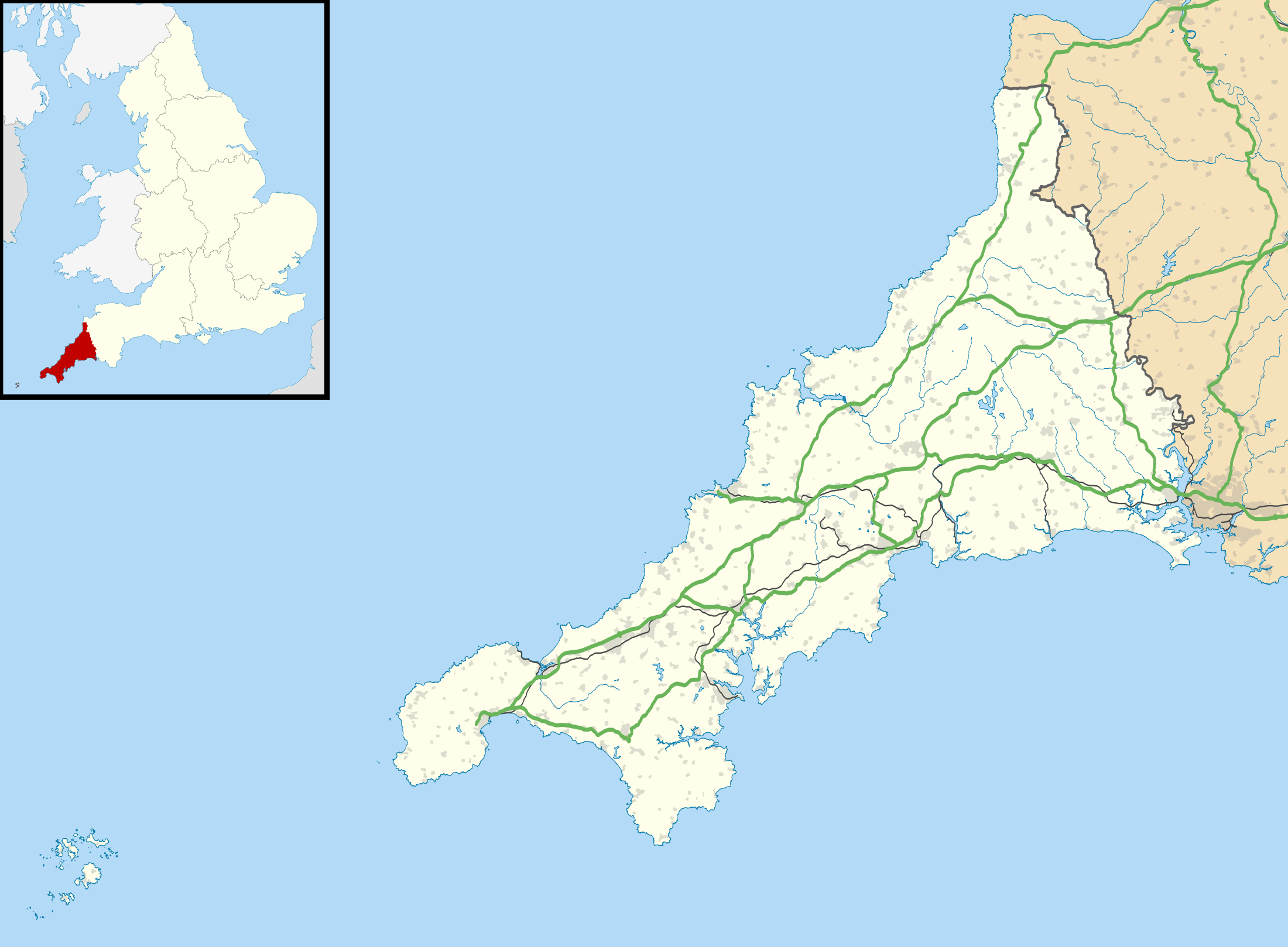 | |
| Location | Cornwall |
| Coordinates | 50°13′10″N 4°48′07″W / 50.219534°N 4.802055°WCoordinates: 50°13′10″N 4°48′07″W / 50.219534°N 4.802055°W |
| Elevation | 373.88 feet (114 m)[1] |
| Operator | National Trust |
| Designation | Scheduled monument[2] |
| Website |
www |
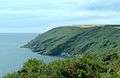
Dodman Point near Mevagissey is the highest headland on the south Cornwall coast, measuring 374 feet (114 m).[3] It is also known by its earlier names of the Deadman and Deadman's Point.[4] It hosts the remains of an Iron Age promontory fort,[2] and at its seaward end is a large granite cross, erected in 1896 to help protect shipping from this headland.[3] It is mentioned in the shanty Spanish Ladies.
To its north-east and in its lee is the small anchorage and sand beach of Gorran Haven.
Below the large stone cross, there is a way down to the bottom of the small cliffs and there is some climbing there on the faces mainly bouldering as it is rarely scaled so there are no fixed anchor points.[5]
Gallery
 Viewed from the east
.jpg) Viewed from the west
Viewed from the west.jpg) The Cross
The Cross.jpg) The Watch House
The Watch House
References
- ↑ Ordnance Survey Bench Mark height via "Archived copy". Archived from the original on 2012-04-24. Retrieved 2011-09-17.
- 1 2 Historic England. "Details from listed building database (1020865)". National Heritage List for England. Retrieved 28 September 2015.
- 1 2 "The Dodman".
- ↑ McKenzie & al. The New British Channel Pilot, containing Sailing Directions from London to Liverpool, including the Bristol Channel, and from Calais to Brest; also for the Coasts of Ireland, from Loch Carlingford to London, and thence to Galway Bay; compiled from the Latest Surveys of the Coasts of England and Ireland, also of the Coasts and Harbours of France, including the Remarks and Observations of Several Pilots, Masters in the Navy, and Coasters (11th ed.), p. 66. J.W. Norie & Co. (London), 1839. Accessed 26 May 2014.
- ↑ "UK Climbing Limited". Dodman Point.
Cornwall Portal | |
| Unitary authorities | |
| Major settlements |
|
| Rivers | |
| Topics | |
This article is issued from
Wikipedia.
The text is licensed under Creative Commons - Attribution - Sharealike.
Additional terms may apply for the media files.