Daramdin
| Daramdin | |
|---|---|
| Village | |
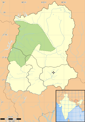 Daramdin Location in Sikkim, India  Daramdin Daramdin (India) | |
| Coordinates: 27°13′01″N 88°10′16″E / 27.217°N 88.171°ECoordinates: 27°13′01″N 88°10′16″E / 27.217°N 88.171°E | |
| Country |
|
| State | Sikkim |
| District | West Sikkim |
| Elevation | 1,246 m (4,088 ft) |
| Languages | |
| • Official | Nepali, Bhutia, Lepcha, Limbu, Newari, Rai, Gurung, Mangar, Sherpa, Tamang and Sunwar |
| Time zone | UTC+5:30 (IST) |
| PIN | 737 121 |
| Vehicle registration | SK |
| Nearest city | Soreng |
| Vidhan Sabha constituency | Daramdin |
| Climate | sub tropical to alpine (Köppen) |
Daramdin is a village-town located in the western part of Sikkim, India.[1] Daramdin is located near Soreng, Dentam, Kaluk and Gyalshing. Daramdin was ruled by a feudal king Na Hang in the 1st century.[2] This place mostly comprises Subba/Limboos and Lepchas. other communities like Pradhans, Chettris and Bhujels are also there in samall numbers.
Tourism
The main tourist attraction of Daramdin is Sri Sathya Sai Sarva Dharma Kendra Daramdin which is located in its centre. A foundation of a traditional spot, Swarga Janae Seeri (Stairway to heaven) was also laid in 1997 but the construction stopped.
Education
Kripasalyan government secondary school is situated near Daramdin Bazar. EILM University is 14 km from Daramdin.
References
- ↑ "One Five Nine - Daramdin".
- ↑ Chumlung, Yakthung (2014). "chapter 3, Mawrong Hang". Kirat History and Culture: All about south asian Monoglians (Kindle)
|format=requires|url=(help). ASIN B00JH8W6HQ.
External links
This article is issued from
Wikipedia.
The text is licensed under Creative Commons - Attribution - Sharealike.
Additional terms may apply for the media files.