Dangriga Airport
| Dangriga Airport | |||||||||||
|---|---|---|---|---|---|---|---|---|---|---|---|
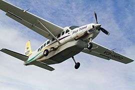 Maya Island Air Cessna 208 at Dangriga Airport (2014) | |||||||||||
| Summary | |||||||||||
| Airport type | Public | ||||||||||
| Serves | Dangriga | ||||||||||
| Location |
| ||||||||||
| Elevation AMSL | 13 ft / 4 m | ||||||||||
| Coordinates | 16°58′56.6″N 088°13′51.6″W / 16.982389°N 88.231000°WCoordinates: 16°58′56.6″N 088°13′51.6″W / 16.982389°N 88.231000°W | ||||||||||
| Map | |||||||||||
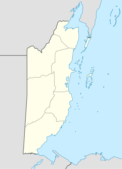 DGA Location of Dangriga Airport in Belize | |||||||||||
| Runways | |||||||||||
| |||||||||||
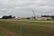
view of the airport
Dangriga Airport (IATA: DGA) also called Pelican Beach Airstrip is a public use airport located 1 kilometre (1 mi) north of Dangriga, Stann Creek District, Belize.
See also
References
- ↑ . Retrieved 2018-10-02
- ↑ Google (2013-09-02). "location of Dangriga Airport" (Map). Google Maps. Google. Retrieved 2013-09-02.
External links
| Wikimedia Commons has media related to Dangriga Airport. |
This article is issued from
Wikipedia.
The text is licensed under Creative Commons - Attribution - Sharealike.
Additional terms may apply for the media files.