Melinda Airport
| Melinda Airport | |||||||||||
|---|---|---|---|---|---|---|---|---|---|---|---|
| Summary | |||||||||||
| Airport type | Public | ||||||||||
| Serves | Melinda | ||||||||||
| Location |
| ||||||||||
| Elevation AMSL | 101 ft / 31 m | ||||||||||
| Coordinates | 17°0′16.3″N 088°18′15.2″W / 17.004528°N 88.304222°WCoordinates: 17°0′16.3″N 088°18′15.2″W / 17.004528°N 88.304222°W | ||||||||||
| Map | |||||||||||
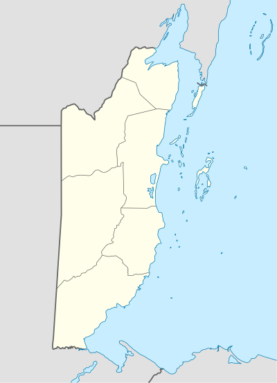 MDB Location of Melinda Airport in Belize | |||||||||||
| Runways | |||||||||||
| |||||||||||
Melinda Airport (IATA: MDB) is a public use airport located 9 kilometres (6 mi) west-northwest of Melinda, Stann Creek District, Belize.
See also
References
- ↑ Airport record for Melinda Airport at Landings.com. Retrieved 2013-09-02
- ↑ Google (2013-09-02). "location of Melinda Airport" (Map). Google Maps. Google. Retrieved 2013-09-02.
External links
- Airport record for Melinda Airport at Landings.com
This article is issued from
Wikipedia.
The text is licensed under Creative Commons - Attribution - Sharealike.
Additional terms may apply for the media files.