Caye Chapel Airport
| Caye Chapel Airport | |||||||||||
|---|---|---|---|---|---|---|---|---|---|---|---|
| Summary | |||||||||||
| Airport type | Public | ||||||||||
| Location | Caye Chapel | ||||||||||
| Coordinates | 17°42′03″N 088°02′28″W / 17.70083°N 88.04111°WCoordinates: 17°42′03″N 088°02′28″W / 17.70083°N 88.04111°W | ||||||||||
| Map | |||||||||||
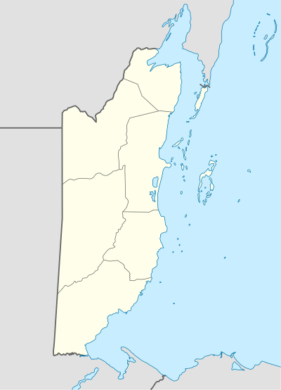 Caye Chapel Airport Location in Belize | |||||||||||
| Runways | |||||||||||
| |||||||||||
|
Source: Great Circle Mapper[1] | |||||||||||
Caye Chapel Airport (IATA: CYC) is an airport that serves Caye Chapel, Belize.
Scheduled Service
| Airlines | Destinations |
|---|---|
| Maya Island Air | Belize City-International, Caye Caulker |
References
- ↑ Airport information for CYC at Great Circle Mapper.
This article is issued from
Wikipedia.
The text is licensed under Creative Commons - Attribution - Sharealike.
Additional terms may apply for the media files.