Dalou Mountains
| Dalou Mountains | |
|---|---|
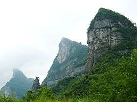 South side of Mount Jinfo | |
| Highest point | |
| Peak | Mount Jinfo (金佛山) |
| Elevation | 2,251 m (7,385 ft) |
| Geography | |
 | |
| Country | China |
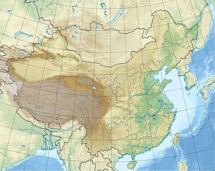
| Provinces | Guizhou and Sichuan |
| Range coordinates | 29°04′N 107°18′E / 29.067°N 107.300°ECoordinates: 29°04′N 107°18′E / 29.067°N 107.300°E |
The Dalou Mountains (simplified Chinese: 大娄山; traditional Chinese: 大婁山} are a range of limestone mountains running 300 km (190 mi) north east to south west across the Yunnan-Guizhou Plateau spanning Guizhou and Sichuan Provinces, People's Republic of China.[1] At 2,251 m (7,385 ft), Mount Jinfo (金佛山) in Nanchuan District, Chongqing is the highest peak in a range that is also the watershed between the Wu and Chishui rivers.
References
- ↑ "The Dalou Mountains (大娄山)" (in Chinese). Archived from the original on July 18, 2011. Retrieved February 13, 2011.
Mountain ranges of China | |
|---|---|
| Northwest China | |
| Qinghai-Tibet and Southwest China | |
| Northeast China | |
| Northern China | |
| Central China | |
| Southern China | |
This article is issued from
Wikipedia.
The text is licensed under Creative Commons - Attribution - Sharealike.
Additional terms may apply for the media files.