D'Arcy, Saskatchewan
| D'Arcy | |
|---|---|
| Unincorporated community | |
 D'Arcy  D'Arcy | |
| Coordinates: 51°16′48″N 108°19′12″W / 51.280°N 108.320°W | |
| Country | Canada |
| Province | Saskatchewan |
| Region | Southwest Saskatchewan |
| Census division | 12 |
| Rural Municipality | Pleasant |
| Government | |
| • Governing body | Pleasant Valley No. 288 |
| Time zone | Central Standard Time (CST) |
| Area code(s) | 306 |
| Highways | Highway 7 |
| Railways | Canadian National Railway |
| [1][2][3][4] | |
D'Arcy is an unincorporated community in Rural Municipality of Pleasant Valley No. 288 in western-central Saskatchewan, Canada. The post office started out with the name D'Arcy Station in 1911 in the Federal Electoral District of Kindersley. Along with McGee, Saskatchewan, the town is named after the Father of Confederation, D'Arcy McGee.
Railway
D'Arcy was also a Canadian National Railways C.N.R. Rail Station on the Saskatoon - Calgary Branch line.
Education
D'Arcy is located within the Sun West School Division. D'Arcy School District No. 3016 was the first one-room school house in D'Arcy region.
Statistics
| Canada census – D'Arcy, Saskatchewan community profile | |||
|---|---|---|---|
| Population: | |||
| Land area: | |||
| Population density: | |||
| Median age: | |||
| Total private dwellings: | |||
| Median household income: | |||
| References: earlier[5] | |||
Area statistics
- Lat (DMS) 51°28′00″ N
- Long (DMS) 108°32′00″ W
- Dominion Land Survey Section 12 Tsp 29 Rge 19 W3
- Time zone (est) UTC−6
References
- ↑ National Archives, Archivia Net, Post Offices and Postmasters, archived from the original on 2006-10-06
- ↑ Government of Saskatchewan, MRD Home, Municipal Directory System, archived from the original on November 21, 2008
- ↑ Canadian Textiles Institute. (2005), CTI Determine your provincial constituency, archived from the original on 2007-09-11
- ↑ Commissioner of Canada Elections, Chief Electoral Officer of Canada (2005), Elections Canada On-line, archived from the original on 2007-04-21
- ↑ "2001 Community Profiles". Canada 2001 Census. Statistics Canada. February 17, 2012.
External links
| Towns | 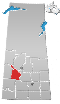 | ||||
|---|---|---|---|---|---|
| Villages | |||||
| Resort villages | |||||
| Rural municipalities | |||||
| Indian reserves |
| ||||
| Unincorporated communities |
| ||||
Coordinates: 51°28′00″N 108°32′03″W / 51.46667°N 108.53417°W
This article is issued from
Wikipedia.
The text is licensed under Creative Commons - Attribution - Sharealike.
Additional terms may apply for the media files.