Curgurrell
| Curgurrell | |
|---|---|
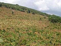 A coastal slope near Curgurrell | |
 Curgurrell Curgurrell shown within Cornwall | |
| OS grid reference | SW883374 |
| Civil parish | |
| Unitary authority | |
| Ceremonial county | |
| Region | |
| Country | England |
| Sovereign state | United Kingdom |
| Post town | Truro |
| Postcode district | TR2 |
| EU Parliament | South West England |
Curgurrell is a hamlet on the Roseland Peninsula north of Portscatho in Cornwall, England.[1] Dingerein Castle, an Iron Age, fort is nearby.[2] At the 2011 census the population was included in the civil parish of Gerrans
References
Cornwall Portal | |
| Unitary authorities | |
| Major settlements |
|
| Rivers | |
| Topics | |
This article is issued from
Wikipedia.
The text is licensed under Creative Commons - Attribution - Sharealike.
Additional terms may apply for the media files.