Coverack to Porthoustock
| Site of Special Scientific Interest | |
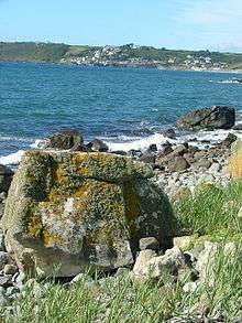 The shore and cliffs of the SSSI, looking towards Coverack | |
 Location within Cornwall 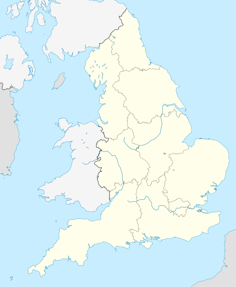 Coverack to Porthoustock (England) | |
| Area of Search | Cornwall |
|---|---|
| Grid reference | SW785189 |
| Coordinates | 50°02′05″N 5°04′37″W / 50.0347°N 5.0769°WCoordinates: 50°02′05″N 5°04′37″W / 50.0347°N 5.0769°W |
| Interest | Biological/Geological |
| Area | 173.46 hectares (1.735 km2; 0.6697 sq mi) |
| Notification | 1951 |
| Natural England website | |
Coverack to Porthoustock is a coastal Site of Special Scientific Interest (SSSI) in Cornwall, England, UK, noted for both its biological and geological characteristics. The site contains 4 Red Data Book plant species.
Geography
The 173.5-hectare (429-acre) site, notified in 1951, is situated on the south Cornish coast, within St Keverne civil parish on the Lizard Peninsula. It starts at the village of Coverack in the south, following the shores of the English Channel to the hamlet of Porthoustock in the north.[1][2]
The South West Coast Path runs through the SSSI, part of the coastline around Lowland Point is owned by the National Trust and contains 2 Geological Conservation Review sites.[2][3]
Wildlife and ecology
The coastline contains 4 Red Data Book plant species, which includes Cornish heath (Erica vagans), dwarf rush (Juncus capitatus) and twin-headed clover (Trifolium bocconei) along with the nationally scarce autumn squill (Scilla autumnalis).[3]
References
- ↑ "Coverack to Porthoustock map". Natural England. Archived from the original on 13 October 2012. Retrieved 28 November 2011.
- 1 2 Ordnance Survey: Landranger map sheet 204 Truro & Falmouth ISBN 978-0-319-23149-4
- 1 2 "Coverack to Porthoustock" (PDF). Natural England. 1993. Retrieved 28 November 2011.
Cornwall Portal | |
| Unitary authorities | |
| Major settlements |
|
| Rivers | |
| Topics | |