Courtois, Missouri
| Courtois, Missouri | |
|---|---|
| Community | |
 Courtois, Missouri Location of Courtois, Missouri | |
| Coordinates: 37°45′53″N 91°04′19″W / 37.76472°N 91.07194°WCoordinates: 37°45′53″N 91°04′19″W / 37.76472°N 91.07194°W[1] | |
| Country | U. S. A. |
| State | Missouri |
| County | Washington County |
| Elevation[1] | 274 m (899 ft) |
| Time zone | UTC-6 (CST) |
| • Summer (DST) | UTC-5 (CDT) |
Courtois is an unincorporated community in southwestern Washington County, Missouri, United States. It is located about 12 miles (19 km) southwest of Belgrade and 3.9 mi (6.3 km) northeast of Viburnum, Missouri in Iron County.[1][2] Courtois is located on Missouri Route C and at the confluence of Indian Creek and Courtois Creek.[3]
The community is named after an unidentified settler, as is a nearby stream, Courtois Creek. According to Ramsay, "The name of the creek is locally pronounced and sometimes written as Coataway or Cotoway."[4] The name of the town is locally pronounced "Cur-toys".
A post office was established in 1886,[4] but is now closed and mail now comes from Steelville or Belgrade.
References
Municipalities and communities of Washington County, Missouri, United States | ||
|---|---|---|
| Cities | 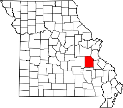 | |
| Villages | ||
| Townships | ||
| Unincorporated communities |
| |
| Ghost towns | ||
| Footnotes | ‡This populated place also has portions in an adjacent county or counties | |
This article is issued from
Wikipedia.
The text is licensed under Creative Commons - Attribution - Sharealike.
Additional terms may apply for the media files.