Conington, Huntingdonshire
.jpg)
| Conington | |
|---|---|
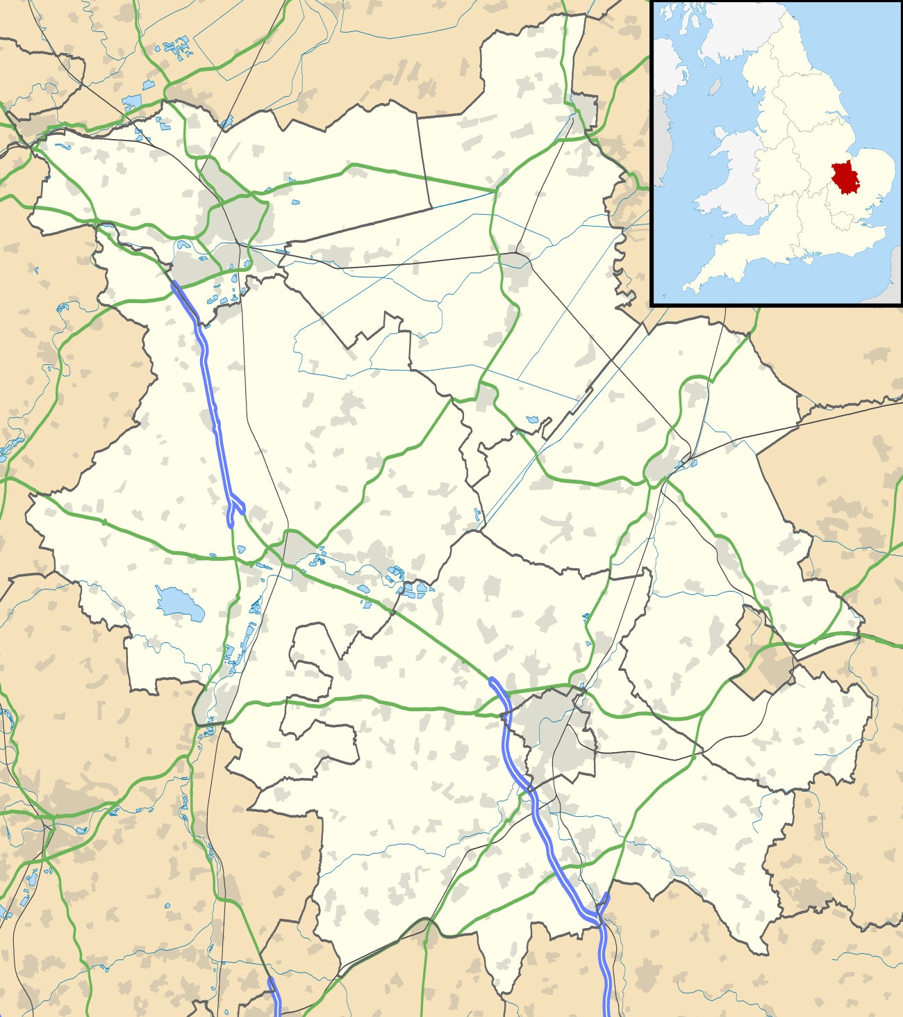 Conington Conington shown within Cambridgeshire | |
| Population | 209 (2011) |
| OS grid reference | TL176860 |
| District | |
| Shire county | |
| Region | |
| Country | England |
| Sovereign state | United Kingdom |
| Post town | Peterborough |
| Postcode district | PE7 |
| EU Parliament | East of England |
Conington is a village and civil parish in Cambridgeshire, England.[1] Conington lies about 10 km (6.2 miles) south of Peterborough and 3 km (1.9 miles) north of Sawtry. It is within earshot of Ermine Street, now called the Great North Road. Conington lies within Huntingdonshire, which is a non-metropolitan district of Cambridgeshire and one of the historic counties of England.
History
Conington was listed in the Domesday Book in the Hundred of Normancross in Huntingdonshire; the name of the settlement was written Coninctune in the Domesday Book of 1086,[2] when there was just one manor at Conington; the annual rent paid to the lord of the manor in 1066 had been £9 and the rent was the same in 1086.[3]
The Domesday Book also records that there were 27 households at Conington.[3] Estimates for the average size of a household at that time range from 3.5 to 5.0 people.[4] These yield a population estimate of 94–135. The survey records there were 15 ploughlands at Conington in 1086.[3] In addition to the arable land, there were some 40 acres (16 hectares) of meadow.[3] The total tax assessment for the manor at Conington was nine geld.[3] By 1086 there was already a church and a priest.
The Cotton Baronetcy of Conington was created in the Baronetage of England on 29 June 1611 for the antiquary Robert Bruce Cotton (1570–1631), who also represented five constituencies in the House of Commons.[5] The novelist and editor Henrietta Maria Bowdler was born in Conington in 1750.[6]
In the Second World War, Conington was located next to Royal Air Force Station Glatton. RAF Glatton was constructed to Class "A" standards to support heavy bombers in 1943 with the intention of being used by the US Army Air Forces. The 457th Bombardment Group (Heavy) arrived on 21 January 1944. The recognisable tail code of the 457th was the "triangle U" painted on the vertical stabilizers of the Boeing B-17 Flying Fortresses which operated from the air base. The 457th Bomb Group operated from RAF Glatton from January 1944 until 20 April 1945, when it completed its 237th and last combat mission at the conclusion of the war. In All Saints Church, Conington is a memorial to the 457th Bomb Group.[7]
Governance
As a civil parish, Conington has an elected parish council. It consists of five members. Conington was in the historic and administrative county of Huntingdonshire until 1965. From 1965, it became part of the new administrative county of Huntingdon and Peterborough. Then in 1974, following the Local Government Act 1972, Conington became part of the county of Cambridgeshire, with Huntingdonshire District Council as its second tier. Conington lies in the district ward of Sawtry. It is represented on the district council by two councillors as part of the electoral division of Sawtry and Ellington,[8] and is represented on the county council by one councillor. It lies the parliamentary constituency of North West Cambridgeshire,.[8] The member has been Shailesh Vara (Conservative) since 2005. For the European Parliament Conington is part of the East of England constituency, which elects seven MEPs by the d'Hondt method of party-list proportional representation.
Demography
Population
In the period 1801 to 1901 the population of Conington was recorded every ten years by the UK census. During this time the population was in the range of 154 (in 1801) and 319 (in 1851).[9]
From 1901, a census was taken every ten years with the exception of 1941 (due to the Second World War).
| Parish |
1911 |
1921 |
1931 |
1951 |
1961 |
1971 |
1981 |
1991 |
2001 |
2011 |
|---|---|---|---|---|---|---|---|---|---|---|
| Conington | 261 | 259 | 245 | 348 | 290 | 247 | 219 | 209 | 216 | 209 |
All population census figures from report Historic Census figures Cambridgeshire to 2011 by Cambridgeshire Insight.[9]
In 2011, the parish covered an area of 3,173 acres (1,284 hectares)[9] and so the population density for Conington in 2011 was 42.2 persons per square mile (16.3 per square kilometre).
See also
External links
| Wikimedia Commons has media related to Conington, Huntingdonshire. |
- Page at GENUKI – confusingly the church here was dedicated to St Mary which is the dedication of the church in the other Conington
- Cambridge Military History Page
References
- ↑ Ordnance Survey: Landranger map sheet 153 Bedford & Huntingdon (St Neots & Biggleswade) (Map). Ordnance Survey. 2013. ISBN 9780319231722.
- ↑ Dr Ann Williams, Professor G.H. Martin, eds. (1992). Domesday Book: A Complete Translation. London: Penguin Books. p. 1333. ISBN 0-141-00523-8.
- 1 2 3 4 5 Professor J.J.N. Palmer, University of Hull. "Open Domesday: Place – Conington". www.opendomesday.org. Anna Powell-Smith. Retrieved 25 February 2016.
- ↑ Goose, Nigel; Hinde, Andrew. "Estimating Local Population Sizes" (PDF). Retrieved 23 February 2016.
- ↑ ODNB: Stuart Handley, "Cotton, Sir Robert Bruce, first baronet (1571–1631)" Retrieved 14 March 2014, pay-walled.
- ↑ M. Clare Loughlin-Chow, "Bowdler, Henrietta Maria (1750–1830)" Retrieved 14 March 2014, pay-walled.
- ↑ 457th Bomb Group (H) and RAF Glatton Cambridge Military History Research Site
- 1 2 "Ordnance Survey Election Maps". www.ordnancesurvey.co.uk. Ordnance Survey. Archived from the original on 20 February 2016. Retrieved 23 February 2016.
- 1 2 3 "Historic Census figures Cambridgeshire to 2011" (xlsx – download). www.cambridgeshireinsight.org.uk. Cambridgeshire Insight. Retrieved 12 February 2016.