Compo–Owenoke Historic District
|
Compo–Owenoke Historic District | |
 | |
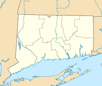  | |
| Location | Roughly bounded by Gray's Cr., Compo Rd. S. and Long Island Sound, Westport, Connecticut |
|---|---|
| Coordinates | 41°6′22″N 73°21′18″W / 41.10611°N 73.35500°WCoordinates: 41°6′22″N 73°21′18″W / 41.10611°N 73.35500°W |
| Area | 154 acres (62 ha) |
| Architect | Sanford Evans; Ernest G. Southey |
| Architectural style | Colonial Revival, Bungalow/Craftsman, Queen Anne |
| MPS | Westport MPS |
| NRHP reference # | 91000393[1] |
| Added to NRHP | April 19, 1991 |
The Compo–Owenoke Historic District is a 154-acre (62 ha) historic district in Westport, Connecticut that was listed on the National Register of Historic Places in 1991. It was described as being "architecturally significant as an exceptionally well-preserved and cohesive early-twentieth-century beach colony which developed between 1910 and 1940."[2]:3
In 1990 it included 211 contributing buildings, one other contributing site, and one other contributing object.[1] The district includes Compo Beach and two residential areas: Compo and Owenoke (a narrow peninsula extending from the Compo area).[2] The district lies to the west of Sherwood Island State Park and to the east of the mouth of the Saugatuck River.
Most of the houses in the district were originally built between 1910 and 1940 and were intended for seasonal (summer) occupancy.[2]
See also
| Wikimedia Commons has media related to Compo Owenoke Historical District. |
- Mill Cove Historic District, another NRHP-listed historic district of cottages nearby
- National Register of Historic Places listings in Fairfield County, Connecticut
References
- 1 2 National Park Service (2009-03-13). "National Register Information System". National Register of Historic Places. National Park Service.
- 1 2 3 Jan Cunningham (August 20, 1990). "National Register of Historic Places Registration: Compo/Owenoke Historic District". National Park Service. and Accompanying 23 photos, from 1990 (captions given on page 25 of text document)
| Topics | |
|---|---|
| Lists by states |
|
| Lists by insular areas | |
| Lists by associated states | |
| Other areas | |
| |
Municipalities and communities of Fairfield County, Connecticut, United States | ||
|---|---|---|
| Cities | 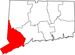 | |
| Towns | ||
| Borough | ||
| CDPs | ||
| Other communities | ||
| Ghost town | ||
| Indian reservation | ||
| Footnotes | ‡This populated place also has portions in an adjacent county or counties | |