Coiba Airport
| Coiba Airport | |||||||||||
|---|---|---|---|---|---|---|---|---|---|---|---|
| Summary | |||||||||||
| Airport type | Public | ||||||||||
| Serves | Isla Coiba, Panama | ||||||||||
| Elevation AMSL | 255 ft / 78 m | ||||||||||
| Coordinates | 7°30′25″N 81°41′53″W / 7.50694°N 81.69806°WCoordinates: 7°30′25″N 81°41′53″W / 7.50694°N 81.69806°W | ||||||||||
| Map | |||||||||||
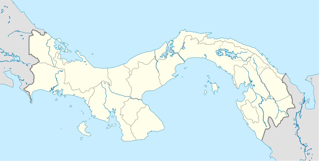
 Coiba Location of the airport in Panama | |||||||||||
| Runways | |||||||||||
| |||||||||||
Coiba Airport is an airport serving Isla Coiba, a Pacific island in the Veraguas Province of Panama. The island and the surrounding waters are part of the Coiba National Park, a World Heritage site.
The airport is on the eastern shore of the island. South approach and departure are over the water.
See also


- Transport in Panama
- List of airports in Panama
References
- ↑ "Coiba Airport". Our Airports. Retrieved 14 June 2018.
- ↑ "Coiba Airport". Bing Maps. Microsoft. Retrieved 14 June 2018.
External links
This article is issued from
Wikipedia.
The text is licensed under Creative Commons - Attribution - Sharealike.
Additional terms may apply for the media files.