Ustupo Airport
| Ustupo Airport | |||||||||||
|---|---|---|---|---|---|---|---|---|---|---|---|
| Summary | |||||||||||
| Serves | Ustupo | ||||||||||
| Elevation AMSL | 9 ft / 3 m | ||||||||||
| Coordinates | 09°07′41″N 77°56′01″W / 9.12806°N 77.93361°W | ||||||||||
| Map | |||||||||||
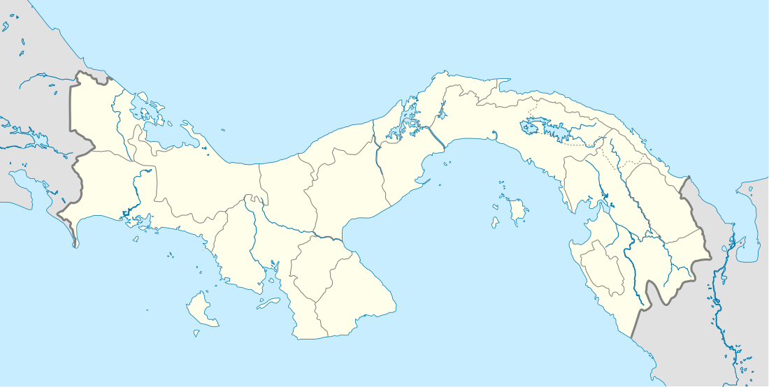
 UTU Location of the airport in Panama | |||||||||||
| Runways | |||||||||||
| |||||||||||
Ustupo Airport (IATA: UTU) is a secondary airport serving the island town of Ustupo, Guna Yala province, Panama. It is located 800 metres (2,625 ft) southwest on the mainland and reachable from the town by a boat.[4] There are no regular flights from the airport,[3] Air Panama flies to Ogobsucum Airport.
See also

References
This article is issued from
Wikipedia.
The text is licensed under Creative Commons - Attribution - Sharealike.
Additional terms may apply for the media files.