Chujachen
| Chujachen छुजाचेन् | |
|---|---|
 Chujachen Location in Sikkim, India  Chujachen Chujachen (India) | |
| Coordinates: 27°12′45″N 88°41′00″E / 27.212607°N 88.683341°ECoordinates: 27°12′45″N 88°41′00″E / 27.212607°N 88.683341°E | |
| Country |
|
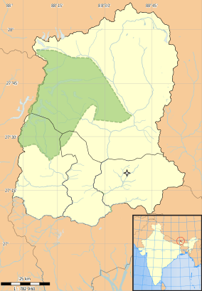
| State | Sikkim |
| District | East Sikkim |
| Subdivision | Rongli |
| Languages | |
| • Official | Nepali (Gorkha), Bhutia, Lepcha, Limbu, Newari, Rai, Gurung, Mangar, Sherpa, Tamang and Sunwar |
| Time zone | UTC+5:30 (IST) |
| PIN | 737131 |
| Telephone code | 03592 |
| Vehicle registration | SK-01 |
| Nearest city | Rongli |
| Vidhan Sabha | Chujachen Constituency |
Chujachen (Nepali: छुजाचेन् ) is a large village located above Rongli Bazar, East Sikkim, numbering 816 households per a 2011 census.[1] It resides at latitude 27.21 and longitude 88.68.
History
Meaning of the village name Chujachen means above pani dhara. The village origin By Norbu or Nopu Bhutia[2] In 1951 a primary School was established and later upgraded to a Senior secondary in 1984.
Chujachen data
According to the 2011 census, Chujachen's demographics are as follows:[3]
| Particulars | Total | Male | Female |
|---|---|---|---|
| 1. Total No. of Houses | 1094 | ||
| 2. Population | 4781 | 2492 | 2289 |
| 3. Child (0-6) | 545 | 293 | 252 |
| 4. Schedule Caste | 168 | 83 | 85 |
| 5. Schedule Tribe | 648 | 318 | 330 |
| 6. Literacy | 84.30 % | 88.68 % | 79.58 % |
| 7. Total Workers | 1537 | 1128 | 409 |
| 8. Main Worker | 246 | 0 | 0 |
| 9. Marginal Worker | 333 | 178 | 155 |
Notable people
References
- ↑ http://censusindia.gov.in/PopulationFinder/Sub_Districts_Master.aspx?state_code=11&district_code=04
- ↑ rdsikkim.org/Files/VDAP%20Reports/.../Chujachen%20GPU.pdf
- ↑ "Chujachen Village Population - Rongli - East Sikkim, Sikkim". census2011.co.in. Retrieved 2016-04-16.
This article is issued from
Wikipedia.
The text is licensed under Creative Commons - Attribution - Sharealike.
Additional terms may apply for the media files.