Chincholi
| Chincholi ಚಿಂಚೋಳಿ | |
|---|---|
| City | |
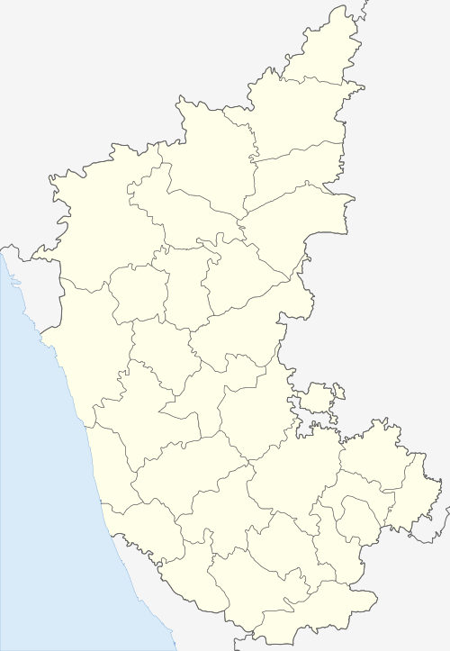
 Chincholi Location in Karnataka, India | |
| Coordinates: 17°28′N 77°26′E / 17.47°N 77.43°ECoordinates: 17°28′N 77°26′E / 17.47°N 77.43°E | |
| Country |
|
| State | Karnataka |
| District | Gulbarga |
| Government | |
| • Type | Municipality |
| Area | |
| • Total | 6 km2 (2 sq mi) |
| Elevation | 462 m (1,516 ft) |
| Population (2011) | |
| • Total | 20,897 |
| • Density | 2,859.67/km2 (7,406.5/sq mi) |
| Languages | |
| • Official | Kannada |
| Time zone | UTC+5:30 (IST) |
| PIN | 585 307 |
| 08475 | 08475 |
| ISO 3166 code | IN-KA |
| Vehicle registration | KA 32 |
| lok sabha | Bidar (Lok Sabha constituency) |
| Vidhan Sabha | Chincholi |
| Website |
karnataka |
Chincholi is a panchayat town and a taluka in Gulbarga district in the state of Karnataka, India.chincholi is called as land of forest,in the gulbarga district only the chincholi has more forest compare to other talukas.And have a chincholi wildlife sanctuary, where animals are conserved. In the chincholi there are two dams present namely,chandrampalli &nagaral dam.[1]
Geograph
Chincholi is located at 17°28′N 77°26′E / 17.47°N 77.43°E.[2] It has an average elevation of 462 metres (1515 feet). The town is spread over an area of 6 km².[3]
Demographics
As of 2011 India census [4] Chincholi had a population of 20897 with males 10852 and females 10045. Chincholi Taluk borders the following taluks of Gulbarga district: Gulbarga Taluk to the west, Chitapur taluk to the south-west and Sedam Taluk to the south. It also borders Humnabad Taluk of Bidar district to the north and Tandur Mandal of Vikarabad district of Telangana to the east and Mogudampally mandal of Sangareddy district of Telangana to northeast
Politics
Chincholi is part of Chincholi Assembly constituency [5] and Bidar (Lok Sabha constituency) Two time chief minister of Karnataka Virendra patil was from this taluka and Hydrabad-Karnataka movement leader Vaijinath patil
Tourist Places
- Sukshetra Buggi.
- Chandrapalli reservoir.
- Etti Potta Falls.
- Nagaral reservoir and Gottamgotta
- Chincholi Wildlife sanctuary.[6]
Transport
KSRTC bus facility available to travel within the karnataka state and nearby states ( Maharastra and Telangana ).The nearest railway station is (30 km) tandur railway station TDU .The nearest airport is (146 km) Rajiv Gandhi International Airport, Hyderabad.
References
- ↑ "Gulbarga division in Nizam rule". Google books. Retrieved 2 October 2017.
- ↑ Falling Rain Genomics, Inc - Chincholi
- ↑ The area of major towns in Karnataka has been mentioned in the webpage Population of Corporation/CMC/TMC/TP Archived 10 April 2009 at the Wayback Machine. belonging to the Municipal Administration Department of the Government of Karnataka
- ↑ "Chincholi 2011 censis". www.census2011.co.in. Retrieved 30 Apr 2016.
- ↑ http://www.elections.in/karnataka/assmbly-constituencies/chincholi.html%5Bpermanent+dead+link%5D
- ↑ "ಚಿಂಚೋಳಿ ತಾಲೂಕಿನ ಪ್ರೇಕ್ಷಣಿಯ ಸ್ಥಳಗಳು (Tourist Places in Chincholi Taluk)". www.kanaja.in. Retrieved 27 September 2017.