Donets, Ukraine
| Donets Донець | |
|---|---|
| Urban-type settlement | |
 Donets | |
| Coordinates: 49°30′30″N 36°34′16″E / 49.50833°N 36.57111°ECoordinates: 49°30′30″N 36°34′16″E / 49.50833°N 36.57111°E | |
| Country | Ukraine |
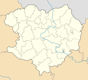
| Oblast | Kharkiv Oblast |
| Raion | Balakliia Raion |
| Population (2017) | |
| • Total | 8,893[1] |
| Time zone | UTC+2 (EET) |
| • Summer (DST) | UTC+3 (EEST) |
Donets (Ukrainian: Донець, Russian: Донец), until May 2016 Chervonyi Donets (Ukrainian: Червоний Донець, Russian: Червоный Донец), is an urban-type settlement in Balakliia Raion, Kharkiv Oblast, Ukraine. Population: 8,893 (2017 est.)[1]
Donets is located on the right bank of the Donets River.
History
On 19 May 2016, Verkhovna Rada adopted decision to rename Chervonyi Donets to Donets conform to the law prohibiting names of Communist origin.[2]
Economy
Transportation
Donets has access (via a bridge) to the R78 Highway connecting Kharkiv and Balakliia, and is also connected by road with Pervomaiskyi.
References
- 1 2 "Чисельність наявного населення України (Actual population of Ukraine)" (in Ukrainian). State Statistics Service of Ukraine. Retrieved 26 August 2017.
- ↑ "Парламентарии переименовали два района в Одесской области" (in Russian). Одесса-медиа. 19 May 2016. Retrieved 4 June 2016.
| Raions | |||||
|---|---|---|---|---|---|
| Cities |
| ||||
| |||||
This article is issued from
Wikipedia.
The text is licensed under Creative Commons - Attribution - Sharealike.
Additional terms may apply for the media files.