Chelinda Airport
| Chelinda Airport | |||||||||||
|---|---|---|---|---|---|---|---|---|---|---|---|
| Summary | |||||||||||
| Airport type | Public | ||||||||||
| Serves | Chelinda, Malawi | ||||||||||
| Elevation AMSL | 7,759 ft / 2,365 m | ||||||||||
| Coordinates | 10°33′25″S 33°47′55″E / 10.55694°S 33.79861°ECoordinates: 10°33′25″S 33°47′55″E / 10.55694°S 33.79861°E | ||||||||||
| Map | |||||||||||
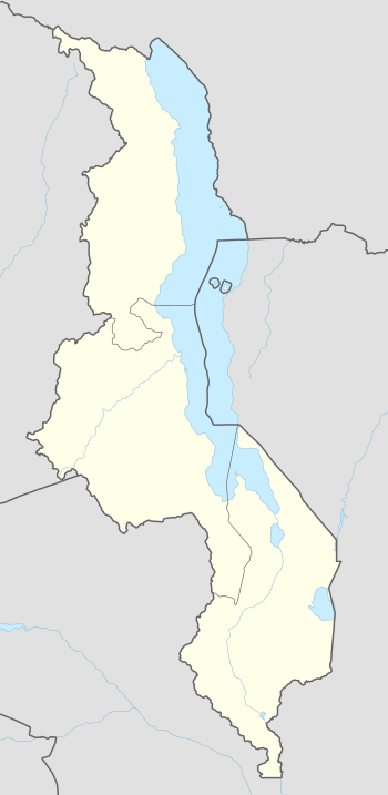 FWCD Location of the airport in Malawi | |||||||||||
| Runways | |||||||||||
| |||||||||||
Chelinda Airport (IATA: CEH, ICAO: FWCD) is an airport serving Chelinda, a village in the Northern Region of Malawi.
The Karonga VOR-DME (Ident: VKA) is 36.1 nautical miles (66.9 km) north of the airport.[3]
See also


- Transport in Malawi
- List of airports in Malawi
References
- ↑ Airport information for Chelinda Airport at Great Circle Mapper.
- ↑ "Chelinda Airport". Google Maps. Google. Retrieved 15 August 2018.
- ↑ "Karonga VOR-DME (VKA) @ OurAirports". ourairports.com. Retrieved 2018-08-21.
External links
- OpenStreetMap - Chelinda
- OurAirports - Chelinda Airport
- FallingRain - Chelinda Airport
- Accident history for CEH at Aviation Safety Network
This article is issued from
Wikipedia.
The text is licensed under Creative Commons - Attribution - Sharealike.
Additional terms may apply for the media files.