Chato District
| Chato District | |
|---|---|
| District | |
 Map showing Chato District's location within Geita Region. | |
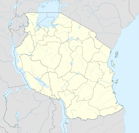 Chato District Map showing Chato District's location within Geita Region.  Chato District Chato District (Africa) .svg.png) Chato District Chato District (Earth) | |
| Coordinates: 02°38′00″S 031°46′00″E / 2.63333°S 31.76667°ECoordinates: 02°38′00″S 031°46′00″E / 2.63333°S 31.76667°E | |
| Country | Tanziana |
| Region | Geita |
| District | Chato |
| Population (2012)[1] | |
| • Total | 365,127 |
| Time zone | UTC+3 (EAT) |
| Postcode | 30xxx |
| Area code(s) | 028 |
| Website | District website |
Chato District is one of the five districts in Geita Region of northwestern Tanzania. Its administrative centre is the town of Chato.[2] The main ethnic group in the district are the Sukuma.[3] John Magufuli who was elected as President of Tanzania in the year 2015, was born in Chato in the year 1959.[4]
History
The Chato District was formed around 2005 within Kagera Region after being separated from Biharamulo District. In 2012, it was transferred to the newly created Geita Region.[5][6]
In March 2006, Rwandan refugees who had settled in the district were evicted. The following year, a few who had been evicted improperly were allowed to come back.[7]
Transport
Climate
The annual rainfall in Chato District is adequate for crops, being between 700 and 1,000 millimetres (28 and 39 in) per year. The maximum temperature averages around 30.5 °C (86.9 °F) and the minimum temperatures around 26.6 °C (79.9 °F).[3]
| Climate data for Chato District | |||||||||||||
|---|---|---|---|---|---|---|---|---|---|---|---|---|---|
| Month | Jan | Feb | Mar | Apr | May | Jun | Jul | Aug | Sep | Oct | Nov | Dec | Year |
Wards
The Chato District is divided into 23 wards:[1]
|
|
Economy
The primary economic activity is subsistence farming without irrigation, using only rain.
Food Crops
Common crops for local consumption are bananas, beans, maize, cassavas, and sweet potatoes.
Cash Crops
Commercial farming is not well developed, but cotton, tobacco, and coffee are grown for sale.
Livestock
Livestock rearing is usually an adjunct to farming, with some commercial ranches.[3]
Tourism
Rubondo Island National Park is located on an island in Lake Victoria just of the coast of Chato District. It can be reached by ferry from Kasenda, a village in the north of the district.[8]
References
- 1 2 Population Distribution by Administrative Units, United Republic of Tanzania, 2013 Archived May 2, 2013, at the Wayback Machine.
- ↑ Staff (9 March 2012). "Tanzania: State Gazettes New Regions, Districts". Daily News. Dar es Salaam, Tanzania. Archived from the original on 23 August 2012.
- 1 2 3 "The Catholic Diocese of Rulenge-Ngara". Archived from the original on 23 July 2011.
- ↑ "Profile: John Magufuli". Tanzania Today.
- ↑ (in Swahili)"Taarifa Kwa Umma: Notisi Ya Kuanzisha Mikoa Na Wilaya", Ofisi Ya Waziri Mkuu Tawala Za Mikoa Na Serikali Za Mitaa, 9 September 2011
- ↑ Staff (9 March 2012). "Tanzania: State Gazettes New Regions, Districts". Daily News. Dar es Salaam, Tanzania. Archived from the original on 23 August 2012.
- ↑ "Zone 11: The Kagera Triangle (Tanzania, Rwanda and Uganda)". Great Lakes Conflict Early Alert Report Weekly Assessment. 1 (14). 23 April 2007.
- ↑ "Rubondo Island National Park". Tanzania National Parks. Retrieved 6 December 2015.