Changal, Tajikistan
| Changal | |
|---|---|
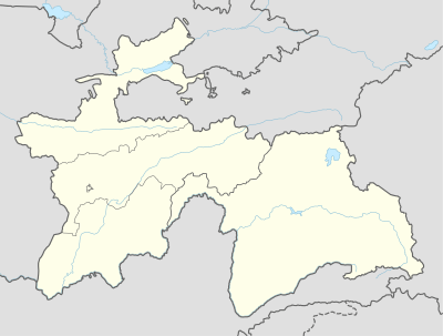 Changal Location in Tajikistan | |
| Coordinates: 39°31′23″N 67°30′11″E / 39.52306°N 67.50306°ECoordinates: 39°31′23″N 67°30′11″E / 39.52306°N 67.50306°E | |
| Country |
|
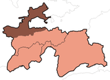
| Province | Sughd |
| District | Panjakent District |
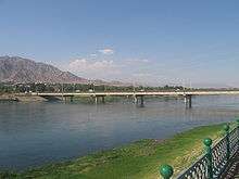
Changal is a village in north-west Tajikistan, located in Panjakent District in Sughd province.[1] It is a western suburb of Panjakent, located on the Zeravshan River on the border with Uzbekistan. It lies on the road from Panjakent to Samarkand.
The economy is primarily based on fishing and using the resources of the river.
References
- ↑ Falling rain gazetteer
External links
This article is issued from
Wikipedia.
The text is licensed under Creative Commons - Attribution - Sharealike.
Additional terms may apply for the media files.