Camaná Province
| Camaná | |
|---|---|
| Province | |
.jpg) The Ocoña River with the town Ocoña in the background | |
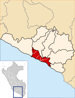 Location of Camaná in the Arequipa Region | |
| Country | Peru |
| Region | Arequipa |
| Capital | Camaná |
| Area | |
| • Total | 3,998.28 km2 (1,543.74 sq mi) |
| Population (2002 estimate) | |
| • Total | 50,998 |
| • Density | 13/km2 (33/sq mi) |
| UBIGEO | 0402 |
Camaná is a province in the Arequipa Region, Peru. It borders the provinces of Caravelí, Condesuyos, Castilla, Caylloma, Arequipa and Islay.
The province was struck by the 2001 southern Peru earthquake, which occurred on June 23, 2001.
Political division
The province is divided into eight districts (Spanish: distritos, singular: distrito):
- Camaná (Camaná)
- José María Quimper (El Cardo)
- Mariano Nicolás Valcárcel (Urasqui)
- Mariscal Cáceres (San José)
- Nicolás de Piérola (San Gregorio)
- Ocoña (Ocoña)
- Quilca (Quilca)
- Samuel Pastor (La Pampa)
Ethnic groups
The province is inhabited by indigenous citizens of Quechua descent. Spanish is the language which the majority of the population (84.02%) learnt to speak in childhood, 13.30% of the residents started speaking using the Quechua language and 2.57% using Aymara (2007 Peru Census).[1]
See also
Sources
- ↑ inei.gob.pe Archived January 27, 2013, at the Wayback Machine. INEI, Peru, Censos Nacionales 2007
| |
|---|---|
Coordinates: 16°37′25″S 72°42′33″W / 16.623561°S 72.709183°W
This article is issued from
Wikipedia.
The text is licensed under Creative Commons - Attribution - Sharealike.
Additional terms may apply for the media files.