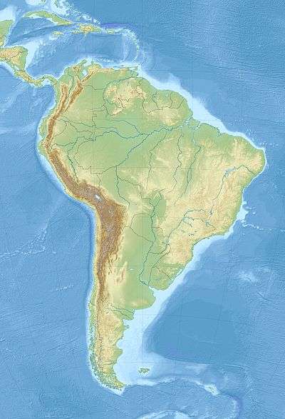
2001 southern Peru earthquake
 Arica Coquimbo | |
| UTC time | 2001-06-23 20:33:14 |
|---|---|
| ISC event | 1893467 |
| USGS-ANSS | ComCat |
| Local date | June 23, 2001 |
| Local time | 15:33 |
| Magnitude | 8.4 Mw [1] |
| Depth | 32 km (20 mi) [1] |
| Epicenter | 16°22′S 73°29′W / 16.36°S 73.48°WCoordinates: 16°22′S 73°29′W / 16.36°S 73.48°W [1] |
| Areas affected | Peru |
| Max. intensity | VIII (Severe) [2] |
| Tsunami | 7 m (23 ft) [3] |
| Casualties |
74–145 dead 2,687–2,713 injured [2] |
The 2001 southern Peru earthquake occurred at 20:33:15 UTC (15:33:15 local time) on June 23 with a moment magnitude of 8.4 and a maximum Mercalli intensity of VIII (Severe). The quake affected the Peruvian regions of Arequipa, Moquegua and Tacna. It was the most devastating earthquake in Peru since the catastrophic 1970 Ancash earthquake and globally the largest earthquake since the 1965 Rat Islands earthquake.
Tectonics and background
The earthquake occurred at the boundary between the Nazca and South American plates. The two plates are converging towards each other at a rate of about 78mm or 3 inches per year. The earthquake occurred as thrust-faulting on the interface between the two plates, with the South American plate moving up and seaward over the Nazca plate.[4] Southwestern Peru has a history of very large earthquakes. The June 23 shock originated just southeast of the source of a magnitude 7.7 earthquake that occurred in 1996, and it appears to have involved rupture of part of the plate boundary segment that produced an earthquake of magnitude approximately 9.0 in 1868. The 1868 earthquake was destructive in towns that were heavily damaged in the June 23 earthquake. The 1868 earthquake produced a tsunami that killed thousands of people along the South American coast and also caused damage in Hawaii and alarm in Japan. The initial onset consists of two events separated by about 6 seconds. It is followed by at least one larger complex event occurring about 40 seconds later.[2]
Damage and casualties
At least 74 people were killed, including 26 killed by a tsunami. At least 2,687 were injured, 17,510 homes were destroyed and 35,549 homes damaged in the Arequipa-Camana-Tacna area. An additional 64 people were missing due to the tsunami in the Camana-Chala area. Landslides blocked highways in the epicentral area. Many of the historic buildings in Arequipa were damaged or destroyed, including the left tower of the Basilica Cathedral of Arequipa.
Some people were injured and damage was reported in the Arica, Chile area. It was felt in Arica, Iquique, Calama and Tocopilla, Chile. The quake was also felt strongly in much of southern Peru and northern Chile and also in Bolivia. Tsunami runup heights near Camana were estimated from field evidence to have reached approximately 7m at some locations; at other locations, the tsunami inundation distance extended more than 1 km inland from the coast. Tsunami wave heights (peak-to-trough) recorded from selected tide stations: 2.5m at Arica; 1.5m at Iquique; 1.0m at Coquimbo, Chile.[2]
See also
References
- 1 2 3 ISC (2016), ISC-GEM Global Instrumental Earthquake Catalogue (1900–2012), Version 3.0, International Seismological Centre
- 1 2 3 4 USGS. "M8.4 - near the coast of southern Peru". United States Geological Survey.
- ↑ USGS (September 4, 2009), PAGER-CAT Earthquake Catalog, Version 2008_06.1, United States Geological Survey
- ↑ Curtis L. Edwards, ed. (2002). Atico, Peru Mw8.4 Earthquake of June 23, 2001. Reston, VA: ASCE, TCLEE. ISBN 9780784406618.
External links
- (in Spanish) Análisis del Terremoto del Sur del Perú, 23 de Junio 2001, Mw= 8.4 Utilizando Datos Locales
- The International Seismological Centre has a bibliography and/or authoritative data for this event.
- ReliefWeb has a report on this event.