Calvadnack
| Kal Vadnek | |
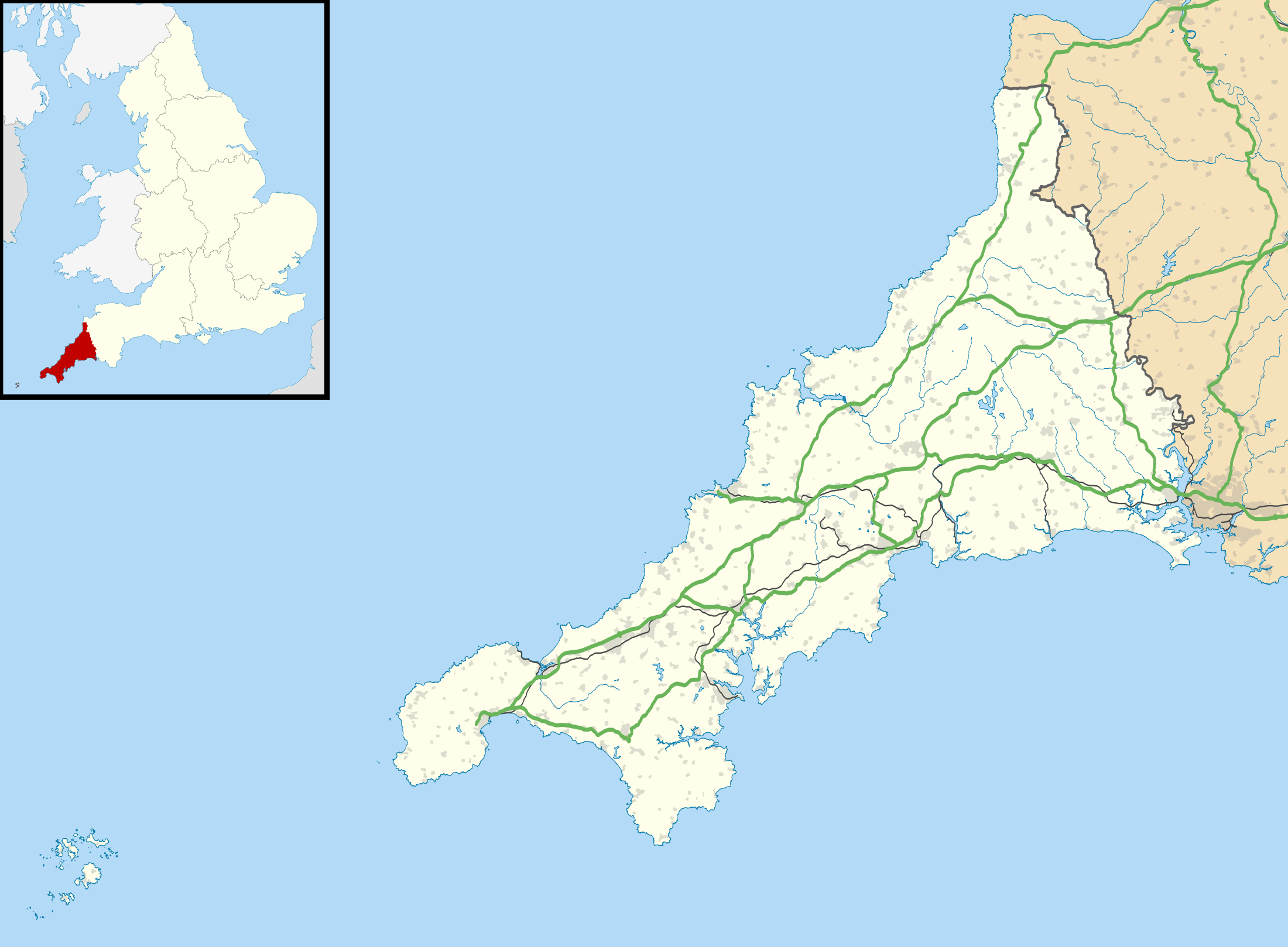 Shown within Cornwall | |
| Coordinates | 50°10′29″N 5°14′14″W / 50.17472°N 5.23722°WCoordinates: 50°10′29″N 5°14′14″W / 50.17472°N 5.23722°W |
|---|---|
| Type | Iron Age Settlement |
| Designated | 2006 |
| Part of | Cornwall and West Devon Mining Landscape |
Calvadnack (Cornish: Kal Vadnek, meaning prominent point) is a 130 acres (53 hectares) area of heathland 3.7 miles (6.0 km) south-east of Camborne in Cornwall, England, UK. Calvadnack is in the civil parish of Wendron. Calvadnack is south-west of the hill of Carnmenellis.[1] In the centre of the moor are the remains of an Iron Age settlement consisting of four round houses.[2][3]
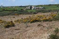
Calvadnack and Farmland
Almost all of Calvadnack Moor is in the Cornwall and West Devon Mining Landscape which has been designated as a World Heritage Site . The site was added to the World Heritage List during the 30th Session of the UNESCO World Heritage Committee in Vilnius, July 2006.
References
- ↑ Ordnance Survey One-inch Map of Great Britain; Land's End, sheet 189. 1961
- ↑ Weatherhill, Craig (2000). Cornovia: Ancient Sites of Cornwall & Scilly. Cornwall Books.
- ↑ "Megaliths, Menhirs and Stone Circles of Cornwall". Cornwall in focus. Retrieved 9 January 2016.
Cornwall Portal | |
| Unitary authorities | |
| Major settlements |
|
| Rivers | |
| Topics | |
This article is issued from
Wikipedia.
The text is licensed under Creative Commons - Attribution - Sharealike.
Additional terms may apply for the media files.