Bresso Airfield
| Bresso Airfield Aeroporto G. Clerici | |||||||||||
|---|---|---|---|---|---|---|---|---|---|---|---|
.JPG) Aerial view of the aerodrome | |||||||||||
| Summary | |||||||||||
| Airport type | Public | ||||||||||
| Serves | Milan, Italy | ||||||||||
| Location | Bresso | ||||||||||
| Opened | 1912 | ||||||||||
| Elevation AMSL | 146 m / 479 ft | ||||||||||
| Coordinates | 45°32′22″N 009°12′08″E / 45.53944°N 9.20222°ECoordinates: 45°32′22″N 009°12′08″E / 45.53944°N 9.20222°E | ||||||||||
| Map | |||||||||||
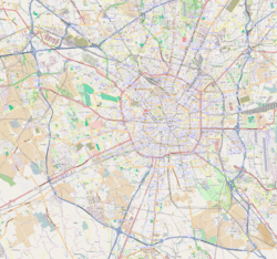 LIMB Location of aerodrome on map of Milan Location of aerodrome on map of Lombardy 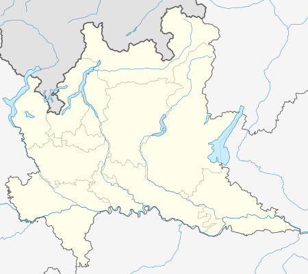 LIMB Location of Lombardy region in Italy  | |||||||||||
| Runways | |||||||||||
| |||||||||||
Bresso Airfield (Italian: Aeroporto di Bresso, ICAO: LIMB) is an aerodrome in comune of Bresso, Italy.
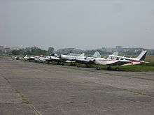
Originally built in 1912, the field was mostly used for military purposes until 1960, when it became the permanent site of Aereo Club Milano. It is now employed as a general aviation airport for flying club activity, touristic flights and air taxi.[1]
References
External links
This article is issued from
Wikipedia.
The text is licensed under Creative Commons - Attribution - Sharealike.
Additional terms may apply for the media files.