Bolair, West Virginia
| Bolair, West Virginia | |
|---|---|
| Unincorporated community | |
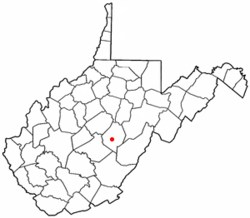 Location of Bolair, West Virginia | |
| Coordinates: 38°26′15″N 80°26′38″W / 38.43750°N 80.44389°WCoordinates: 38°26′15″N 80°26′38″W / 38.43750°N 80.44389°W | |
| Country | United States |
| State | West Virginia |
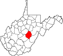
| County | Webster |
| Time zone | UTC-5 (Eastern (EST)) |
| • Summer (DST) | UTC-4 (EDT) |
| GNIS feature ID | 1550416[1] |
Bolair is a small unincorporated community in Webster County, West Virginia, United States, on West Virginia Route 20. To the east is the smaller town of Jerryville. Both towns are about 75 miles east of the state capital, Charleston. The Gauley River runs through the center of the community.
Several traditions explain the origin of the name.[2]
References
- ↑ U.S. Geological Survey Geographic Names Information System: Bolair, West Virginia
- ↑ Kenny, Hamill (1945). West Virginia Place Names: Their Origin and Meaning, Including the Nomenclature of the Streams and Mountains. Piedmont, WV: The Place Name Press. p. 123.
This article is issued from
Wikipedia.
The text is licensed under Creative Commons - Attribution - Sharealike.
Additional terms may apply for the media files.