Bohdanivka, Yahotyn Raion
| Bohdanivka, Yahotyn Raion Богданівка (Яготинський район) | |
|---|---|
| village | |
 Bohdanivka, Yahotyn Raion | |
| Coordinates: 50°13′04″N 32°00′46″E / 50.21778°N 32.01278°ECoordinates: 50°13′04″N 32°00′46″E / 50.21778°N 32.01278°E | |
| Country |
|
| Province |
|
| District |
|
| Established | 1730 |
| Area | |
| • Total | 3,500 km2 (1,400 sq mi) |
| Elevation/(average value of) | 125 m (410 ft) |
| Population | |
| • Total | 782 |
| • Density | 0.22/km2 (0.58/sq mi) |
| Time zone | UTC+2 (EET) |
| • Summer (DST) | UTC+3 (EEST) |
| Postal code | 07742 |
| Area code | +380 4575 |
Bohdanivka (Ukrainian: Богда́нівка) is a village in the Yahotyn Raion in the east of Kiev Oblast, Ukraine.
Local government is administered by Bohdanivska village council.[2] It comprises villages Bohdanivka and Koptevychivka.
Geography
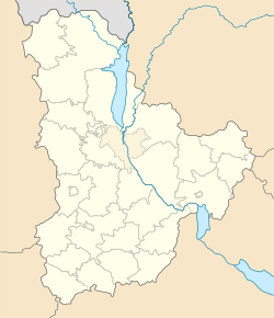
The village is located at the junction of three regions of Ukraine – Kiev Oblast, Poltava Oblast and Cherkasy Oblast on the altitude of 125 metres (410 ft) above sea level. It is located at a distance of 1 kilometre (0.62 mi) from the highway in European route E40 E 40 connecting Kiev with Kharkiv. Distance from the regional center Kiev is 115 kilometres (71 mi) , 27 kilometres (17 mi) from the district center Yahotyn, and 362 kilometres (225 mi) from Kharkiv.
History
Bogdanovka village was founded in 1730 [3]
Famous people
- Kateryna Vasylivna Bilokur – a Ukrainian folk artist, the People's Artist of Ukraine.[4]
References
- ↑ Bohdanivka (in Ukrainian)
- ↑ "Bohdanivska village council". atu_reform.gki.com.ua. Retrieved 2016-12-21.
- ↑ Село Богданівка (Київська обл., Яготинський р-н): карта вулиць (in Ukrainian)
- ↑ "Kateryna Bilokur estate-museum, Bogdanivka - Encyclopedia of Sights : other…". encyclosights.com. Retrieved 2016-12-21.
External links
| Raions | |||||
|---|---|---|---|---|---|
| Cities |
| ||||
| |||||
This article is issued from
Wikipedia.
The text is licensed under Creative Commons - Attribution - Sharealike.
Additional terms may apply for the media files.