Bloomsbury Historic District
|
Bloomsbury Historic District | |
  | |
| Location | Roughly bounded by Fairview Rd., St. Mary's St., Byrd St., Sunset Dr. and Whitaker Mill Rd., Raleigh, North Carolina |
|---|---|
| Coordinates | 35°48′38″N 78°38′53″W / 35.81056°N 78.64806°WCoordinates: 35°48′38″N 78°38′53″W / 35.81056°N 78.64806°W |
| Area | 120 acres (49 ha) |
| Built | 1914 |
| Architect | Carolina Builders |
| Architectural style | Bungalow/Craftsman, Tudor Revival |
| MPS | Five Points Neighborhoods, Raleigh, North Carolina MPS |
| NRHP reference # | 02000497[1] |
| Added to NRHP | May 16, 2002 |
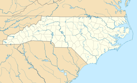
The Bloomsbury Historic District is a neighborhood and national historic district located near downtown Raleigh, North Carolina. Located north of the Five Points intersection, the boundaries include Fairview Road, St. Mary's Street, Byrd Street, Sunset Drive, and Whitaker Mill Road. The residential district encompasses 439 contributing buildings and was developed between about 1914 and 1950. It includes notable examples of Tudor Revival and Bungalow / American Craftsman style architecture.[2]
In May 2002, Bloomsbury was listed on the National Register of Historic Places.[3]
See also
External links
References
- ↑ National Park Service (2010-07-09). "National Register Information System". National Register of Historic Places. National Park Service.
- ↑ Sherry Joines Wyatt (September 2001). "Bloomsbury Historic District" (pdf). National Register of Historic Places - Nomination and Inventory. North Carolina State Historic Preservation Office. Retrieved 2015-06-01.
- ↑ "North Carolina - Wake County - Historic Districts". National Register of Historic Places. nationalregisterofhistoricplaces.com. 2008-05-01.
This article is issued from
Wikipedia.
The text is licensed under Creative Commons - Attribution - Sharealike.
Additional terms may apply for the media files.

