Birchleaf, Virginia
| Birchleaf, Virginia | |
|---|---|
| Unincorporated community | |
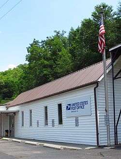 Post Office in Birchleaf | |
 Birchleaf  Birchleaf | |
| Coordinates: 37°10′38″N 82°16′20″W / 37.17722°N 82.27222°WCoordinates: 37°10′38″N 82°16′20″W / 37.17722°N 82.27222°W | |
| Country | United States |
| State | Virginia |
| County | Dickenson |
| Elevation | 1,299 ft (396 m) |
| Time zone | UTC-5 (Eastern (EST)) |
| • Summer (DST) | UTC-4 (EDT) |
| GNIS feature ID | 1495271[1] |
Birchleaf is an unincorporated community in Dickenson County, Virginia, United States. The population was 761 at the 2000 census.
Birchleaf was likely named for the birch timber in the area.[2]
Geography
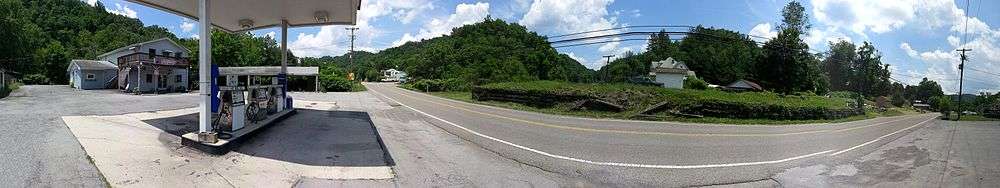
Birchleaf is located approximately 5 miles SE of the town of Haysi, Virginia. The Russell Fork of the Levisa River runs through the center of the community. Frequent flooding of this river has resulated in a floodplain in which most of the community is located.
One of the most destructive floods occurred in 1977, the infamous "Flood of '77" as referred to by local residents. Over $20 million in damage occurred to this and other small communities along the Russell Fork River in April 1977.
Education
Birchleaf is served by Sandlick Elementary School and Haysi High School. Southwest Virginia Community College also runs a bus to nearby Richlands, Virginia.
References
- ↑ U.S. Geological Survey Geographic Names Information System: Birchleaf, Virginia
- ↑ Tennis, Joe (2004). Southwest Virginia Crossroads: An Almanac of Place Names and Places to See. The Overmountain Press. p. 10. ISBN 978-1-57072-256-1.
Municipalities and communities of Dickenson County, Virginia, United States | ||
|---|---|---|
| Towns | 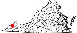 | |
| CDP | ||
| Unincorporated communities | ||
| Footnotes | ‡This populated place also has portions in an adjacent county or counties | |