Bengkayang Regency
| Bengkayang Regency Kabupaten Bengkayang | ||
|---|---|---|
| Regency | ||
| ||
 Location within West Kalimantan | ||
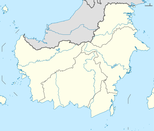 Bengkayang Regency Location in Kalimantan and Indonesia  Bengkayang Regency Bengkayang Regency (Indonesia) | ||
| Coordinates: 1°04′09″N 109°39′50″E / 1.0691°N 109.6639°E | ||
| Country | Indonesia | |
| Province | West Kalimantan | |
| Capital | Bengkayang | |
| Government | ||
| • Regent | Suryadman Gidot | |
| • Vice Regent | Agustinus Naon | |
| Area | ||
| • Total | 5,075.48 km2 (1,959.65 sq mi) | |
| Population (2014) | ||
| • Total | 222,645 | |
| • Density | 44/km2 (110/sq mi) | |
| Time zone | UTC+7 (IWST) | |
| Area code | (+62) 562 | |
| Website |
bengkayangkab | |

Bengkayang Regency (Chinese: 孟嘉影) is a regency ("kabupaten") in West Kalimantan Province of Indonesia, (on the island of Borneo). It was originally a part of Sambas Regency, but following the expansion of the population in that area, Sambas Regency was divided into Sambas Regency and Bengkayang Regency, and Singkawang City was subsequently cut out of Bengkayang Regency. The regency now covers an area of 5,075.48 km2, and had a population of 215,277 at the 2010 Census;[1] the latest official estimate (for January 2014) is 222,645.
Bengkayang is in northern West Kalimantan, sharing a border with Sarawak in Malaysia. With arable land and favourable relief, the agricultural sector is the main economic source.[2] Bengkayang is also rich in natural resources.
Bengkayang is still lagging in term of economic development, but there is a hope that providing local autonomy will catalyze development. A water processing plant has been developed, so the population can enjoy access to clean water.
Administrative districts
The regency is divided into seventeen districts (kecamatan),[3] listed below with their populations at the 2010 Census:
- Sungai Raya (18,333)
- Capkala (7,579)
- Sungai Raya Kepulauan (20,922)
- Samalantan (18,240)
- Monterado (24,453)
- Lembah Bawang (5,191)
- Bengkayang (23,764)
- Teriak (12,464)
- Sungai Betung (8,919)
- Ledo (11,076)
- Suti Semarang (4,579)
- Lumar (5,764)
- Sanggau Ledo (11,198)
- Tujuhbelas (11,216)
- Seluas (17,051)
- Jagoi Babang (8,277)
- Siding (6,251)
References
- ↑ "Archived copy". Archived from the original on 2011-08-19. Retrieved 2011-06-11.
- ↑ "Archived copy". Archived from the original on 2011-08-19. Retrieved 2011-06-08.
- ↑ Biro Pusat Statistik, Jakarta, 2011.
Regencies and cities of West Kalimantan | ||
|---|---|---|
Capital: Pontianak | ||
| Regencies | ||
| Cities | ||
Coordinates: 1°04′09″N 109°39′50″E / 1.0691°N 109.6639°E