Barrets Green
| Barrets Green | |
|---|---|
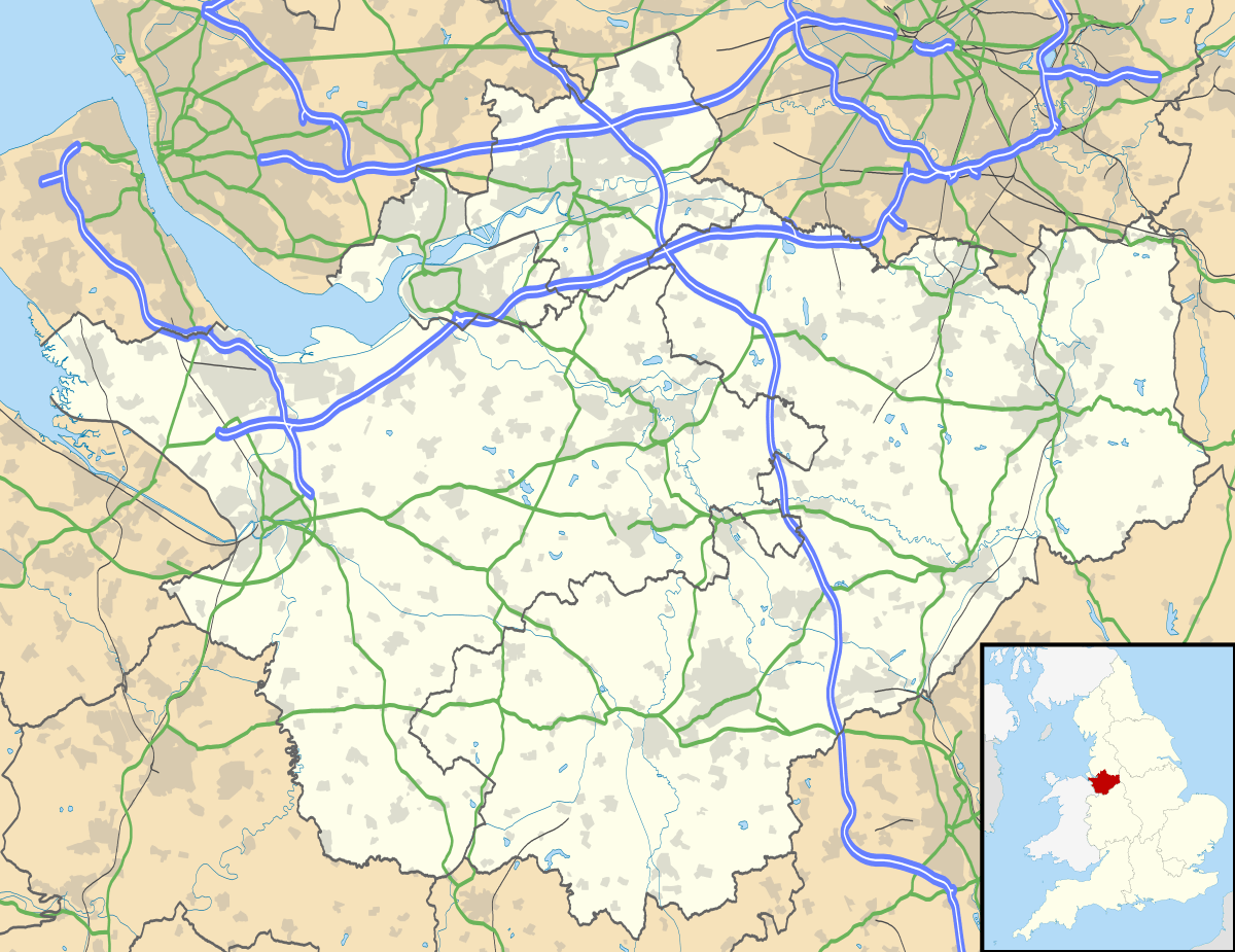 Barrets Green Barrets Green shown within Cheshire | |
| OS grid reference | SJ59075925 |
| Shire county | |
| Region | |
| Country | England |
| Sovereign state | United Kingdom |
| Police | Cheshire |
| Fire | Cheshire |
| Ambulance | North West |
| EU Parliament | North West England |
Barrets Green is a small settlement in the unitary authority of Cheshire East and the ceremonial county of Cheshire, England.[1][2] It lies on the A51 (Nantwich Road) at SJ59075925, by the junction with Long Lane (to Wettenhall), at an elevation of 56 metres. Local farms include Barrets Green Farm and The Grange. For administrative purposes, Barrets Green falls mainly within the civil parish of Alpraham, with a small part in Calveley; it is approximately 1⁄4 miles from each of these two villages.[3]
As of 2016, Barrets Green is served by the Arriva North West Chester–Crewe bus route 84, with a stop near the Long Lane junction on the A51.[4]
References
- ↑ Ordnance Survey: Landranger map sheet 117 Chester & Wrexham (Ellesmere Port) (Map). Ordnance Survey. 2013. ISBN 9780319231609.
- ↑ "Ordnance Survey: 1:50,000 Scale Gazetteer" (csv (download)). www.ordnancesurvey.co.uk. Ordnance Survey. 1 January 2016. Retrieved 30 January 2016.
- ↑ "Barrets Green", Interactive Mapping, Cheshire East Council & Cheshire West and Chester Council, retrieved 14 October 2016
- ↑ 84 - Chester - Tarporley - Nantwich - Willaston - Crewe, Bus Times, retrieved 15 October 2016
This article is issued from
Wikipedia.
The text is licensed under Creative Commons - Attribution - Sharealike.
Additional terms may apply for the media files.